UN/LOCODE hub · Mexico
MXACM

Acolman

19.6167°, -98.9167°
2
Transport functions

Transport Functions

Port
Multimodal
UN/LOCODE

Hub Profile

Region
MEX
GeoNames

Location

Location of MXACM
Natural Earth 10m (public domain) · MEX · MXACM · 19.62, -98.92GoogleOSMYandex

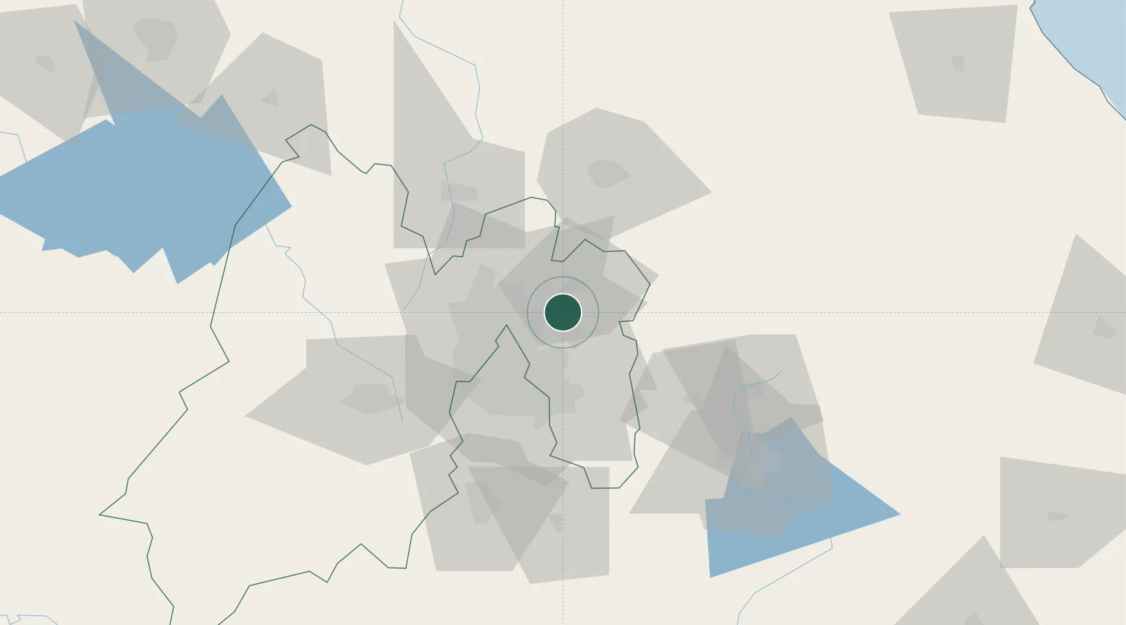
Nearby Logistics Neighbours

Cities
  1. 1Chiconcuac8 km
  2. 2Tecamac14 km
  3. 3Ecatepec14 km
  4. 4Santa Clara Coatitla18 km
  5. 5Xalostoc21 km
Nearest neighbours — logibook spatial index (haversine) over the source coordinates
Ports
  1. 1Tuxpan217 km
  2. 2Veracruz296 km
  3. 3Tampico309 km
  4. 4Acapulco326 km
  5. 5Altamira337 km
Nearest neighbours — logibook spatial index (haversine) over the source coordinates
Trade Zones
  1. 1The Special Economic Zone of Lázaro Cárdenas - La Unión391 km
  2. 2Special Economic Zone of Coatzacoalcos493 km
  3. 3Special Economic Zone of Salina Cruz546 km
  4. 4Zona Economica Especial de Tabasco610 km
  5. 5FTZ No. 062 Brownsville721 km
Nearest neighbours — logibook spatial index (haversine) over the source coordinates
DatabookThe Record of Consolidated Knowledge
Mexico beyond logistics?
Browse databook

All Sources

LocationsUN/LOCODE
UN/LOCODE — free
Portsthe NGA World Port Index
Public domain (US gov)
AirportsOurAirports
Public domain
Trade Zonesthe World Bank SEZ database
CC BY 4.0
Trade ZonesOpen Zone Map
CC BY
← Mexico locations