UN/LOCODE hub · Mexico
MXTLI

Tulancingo

20.0833°, -98.3667°
102,406
Population
2
Transport functions

Transport Functions

Rail
Road
UN/LOCODE

Hub Profile

Place type
Provincial seat
GeoNames
Region
Hidalgo
GeoNames
Population
102,406
GeoNames
Time zone
America/Mexico_City
GeoNames
Elevation
2,187 m
GeoNames

Location

Location of MXTLI
Natural Earth 10m (public domain) · Hidalgo · MXTLI · 20.08, -98.37GoogleOSMYandex

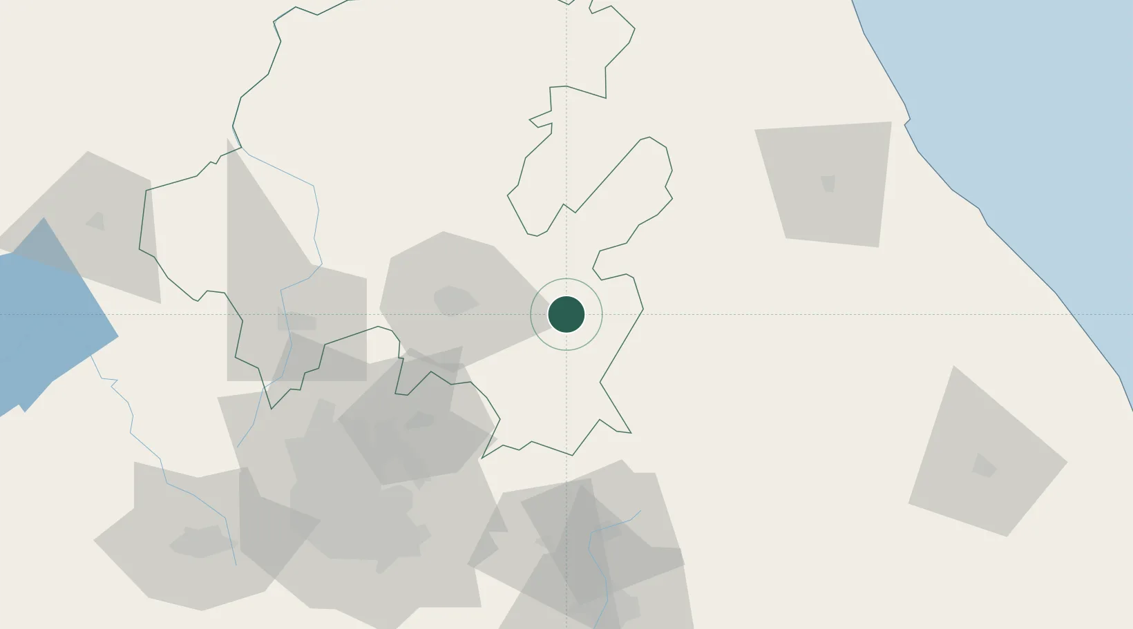
Nearby Logistics Neighbours

Cities
  1. 1Cuautepec de Hinojosa9 km
  2. 2Acaxochitlán20 km
  3. 3Ahuazotepec23 km
  4. 4Nonoalco28 km
  5. 5Ciudad Sahagún41 km
Nearest neighbours — logibook spatial index (haversine) over the source coordinates
Ports
  1. 1Tuxpan139 km
  2. 2Tampico243 km
  3. 3Veracruz254 km
  4. 4Altamira272 km
  5. 5Acapulco396 km
Nearest neighbours — logibook spatial index (haversine) over the source coordinates
Trade Zones
  1. 1Special Economic Zone of Coatzacoalcos461 km
  2. 2The Special Economic Zone of Lázaro Cárdenas - La Unión467 km
  3. 3Special Economic Zone of Salina Cruz547 km
  4. 4Zona Economica Especial de Tabasco568 km
  5. 5FTZ No. 062 Brownsville660 km
Nearest neighbours — logibook spatial index (haversine) over the source coordinates
DatabookThe Record of Consolidated Knowledge
Mexico beyond logistics?
Browse databook

All Sources

LocationsUN/LOCODE
UN/LOCODE — free
LocationsGeoNames
CC BY 4.0
Portsthe NGA World Port Index
Public domain (US gov)
AirportsOurAirports
Public domain
Trade Zonesthe World Bank SEZ database
CC BY 4.0
Trade ZonesOpen Zone Map
CC BY
← Mexico locations