UN/LOCODE hub · Martinique
MQLFR
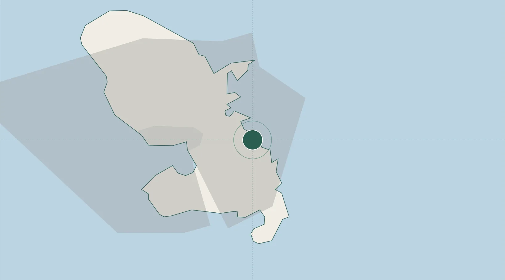
Le François
14.6167°, -60.8833°
19,682
Population
2
Transport functions
Transport Functions
Rail
Postal
Hub Profile
Place type
Populated place
Region
Martinique
Population
19,682
Time zone
America/Martinique
Elevation
14 m
Location
Nearby Logistics Neighbours
Cities
- 1Le Robert8 km
- 2Le Vauclin8 km
- 3Fort-de-France18 km
- 4Port de Fort-de-France Pt.18 km
- 5Les Anses-d'Arlet26 km
Ports
- 1Fort De France20 km
- 2Castries68 km
- 3Grand Cul De Sac Bay72 km
- 4Roseau94 km
- 5Vieux Fort101 km
Airports