Medium airport · Dominica
Douglas-Charles AirportTDPD
15.5467°, -61.3011°
6,352 ft
Longest runway
1
Runways
73 ft
Elevation
Runway & Layout

Radio Frequencies
TWR
118.9 MHz
Navaids
DOM NDB Melville Hall 273 kHz
Runways · 1
| Runway | Dimensions | Surface | True heading | Lit |
|---|---|---|---|---|
| 09/27 | 6,352 × 148ft | Asphalt | 070° | ✓ |
Airport Specifications
IATA code
DOM
ICAO code
TDPD
Airport class
Medium airport
Scheduled service
Yes
Runway surface
Asphalt
Served city
Marigot
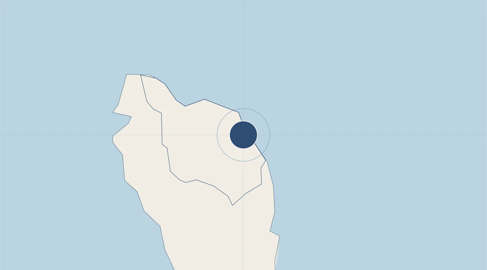
Location
Nearby Logistics Neighbours
Airports
- 1Canefield Airport25 km
- 2Marie-Galante Airport36 km
- 3Basse-Terre Baillif Airport70 km
- 4St-François Airport79 km
- 5Maryse Condé International Airport84 km
Cities
- 1Anse du Mai11 km
- 2Portsmouth16 km
- 3Grand-Bourg37 km
- 4Folle-Anse45 km
- 5Trois-Rivières59 km
Ports
- 1Portsmouth18 km
- 2Roseau29 km
- 3Basse Terre68 km
- 4Pointe A Pitre80 km
- 5Port Louis100 km
DatabookThe Record of Consolidated Knowledge
Dominica beyond logistics?