Transport Functions
Port
Road
Hub Profile
Place type
Populated place
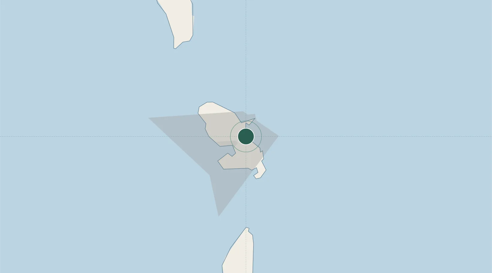
Region
Martinique
Population
23,814
Time zone
America/Martinique
Elevation
8 m
Location
Nearby Logistics Neighbours
Cities
- 1Le François8 km
- 2Fort-de-France15 km
- 3Port de Fort-de-France Pt.15 km
- 4Le Vauclin16 km
- 5Le Marigot20 km
Ports
- 1Fort De France16 km
- 2Castries73 km
- 3Grand Cul De Sac Bay77 km
- 4Roseau86 km
- 5Vieux Fort106 km
Airports