Medium airport · Dominica

Canefield AirportTDCF
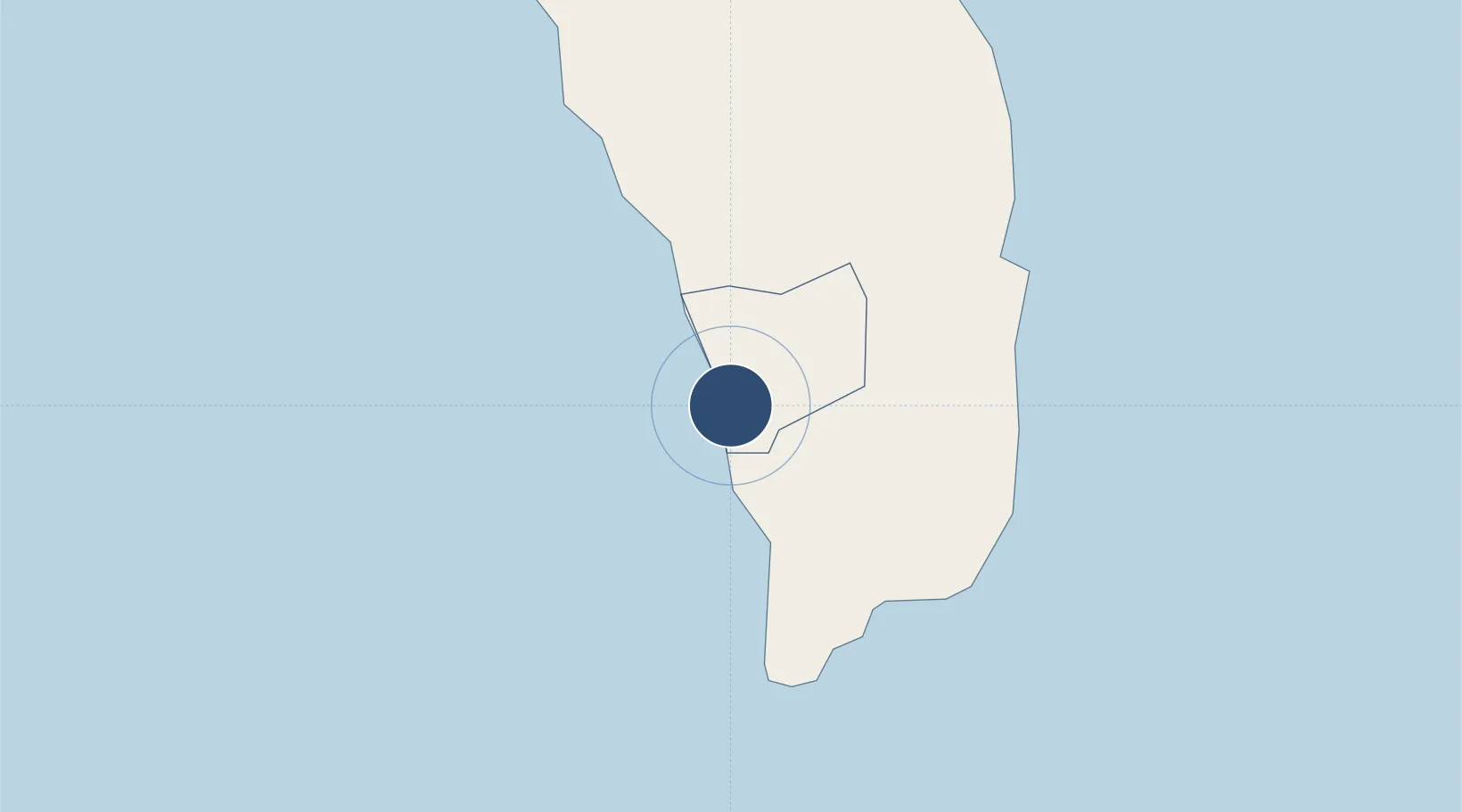
15.3367°, -61.3921°
3,130 ft
Longest runway
1
Runways
13 ft
Elevation

Runway & Layout

Canefield Airport runway & taxiway layout
Runway & taxiway layout — OpenStreetMap (ODbL) / OurAirports

Radio Frequencies

TWR
118.7 MHz
OurAirports

Navaids

DCF NDB Canefield 260 kHz
OurAirports

Runways · 1

RunwayDimensions SurfaceTrue headingLit
01/19 3,130 × 75ft Asphalt 356°
OurAirports

Airport Specifications

IATA code
DCF
OurAirports
ICAO code
TDCF
OurAirports
Airport class
Medium airport
OurAirports
Scheduled service
Yes
OurAirports
Runway surface
Asphalt
OurAirports
Served city
Canefield
OurAirports

Location

Location of TDCF
Natural Earth 10m (public domain) · Saint Paul · TDCF · 15.34, -61.39GoogleOSMYandex

Nearby Logistics Neighbours

Airports
  1. 1Douglas-Charles Airport25 km
  2. 2Marie-Galante Airport61 km
  3. 3Basse-Terre Baillif Airport84 km
  4. 4Martinique Aimé Césaire International Airport93 km
  5. 5St-François Airport103 km
Nearest neighbours — logibook spatial index (haversine) over the source coordinates
Cities
  1. 1Portsmouth26 km
  2. 2Anse du Mai29 km
  3. 3Grand-Bourg62 km
  4. 4Le Precheur62 km
  5. 5Folle-Anse69 km
Nearest neighbours — logibook spatial index (haversine) over the source coordinates
Ports
  1. 1Roseau4 km
  2. 2Portsmouth27 km
  3. 3Basse Terre82 km
  4. 4Fort De France89 km
  5. 5Pointe A Pitre101 km
Nearest neighbours — logibook spatial index (haversine) over the source coordinates
DatabookThe Record of Consolidated Knowledge
Dominica beyond logistics?
Browse databook

All Sources

AirportsOurAirports
Public domain
Portsthe NGA World Port Index
Public domain (US gov)
LocationsUN/LOCODE
UN/LOCODE — free
Trade Zonesthe World Bank SEZ database
CC BY 4.0
Trade ZonesOpen Zone Map
CC BY
InfrastructureOpenStreetMap
ODbL 1.0
← Dominica airports