Transport Functions
Port
Road
Hub Profile
Place type
Populated place
Region
Martinique
Time zone
America/Martinique
Elevation
28 m
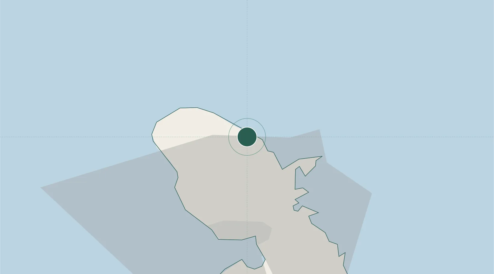
Location
Nearby Logistics Neighbours
Cities
- 1Le Robert20 km
- 2Le Precheur22 km
- 3Case-Pilote23 km
- 4Fort-de-France24 km
- 5Port de Fort-de-France Pt.24 km
Ports
- 1Fort De France24 km
- 2Roseau67 km
- 3Castries89 km
- 4Grand Cul De Sac Bay93 km
- 5Portsmouth96 km
Airports