Seaport · Poland
GdanskPLGDN
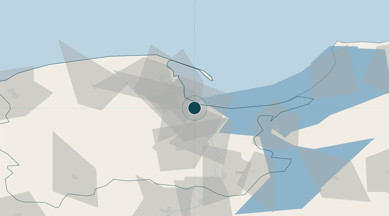
54.3500°, 18.6667°
6.4 m
Channel depth
2
Container terminals
227.4
Port liner connectivity
Channel & Berth Profile
Pilotage, Tugs & Services
Pilotage compulsoryYES
Pilotage availableYES
Local assistanceYES
Tug assistanceYES
Shore powerYES
Potable waterYES
Diesel bunkersYES
MedicalYES
Garbage disposalYES
Facilities & Capabilities
ContainerYES
Ro-RoYES
Liquid bulkYES
Dry bulkYES
Oil terminalNO
Break bulkYES
Dry dockNO
RepairsNO
BunkeringYES
Rail linkYES
Dangerous cargo—
ISPS security—
Harbour Specifications
Harbour size
Large
Harbour type
Canal or Lake
Shelter
Excellent
Water body
Baltic Sea; North Atlantic Ocean
Overhead limit
Yes
Pilotage
Yes
Liner Connectivity
227.4
PLSCI
Port Liner Shipping Connectivity Index for Gdansk, as published by UNCTAD for the latest available quarter. Higher values indicate stronger scheduled liner-shipping integration.
Shown relative to the highest per-port PLSCI in the dataset (1,657.9).
Location
Container Terminals · 2
DEEPWATER CONTAINER TERMINAL
DCT DCT GDANSK SA
GDANSKI TERMINAL KONTENEROWY (GTK)
PLGDA PORT OF GDANSK CARGO LOGISTICS SA
Nearby Logistics Neighbours
Ports
- 1Nowy Port7 km
- 2Gdynia22 km
- 3Baltiysk86 km
- 4Ustka120 km
- 5Kaliningrad124 km
Cities
- 1Nowy Port/Gdansk6 km
- 2Górki Zachodnie7 km
- 3Sopot13 km
- 4Legowo15 km
- 5Kolbudy Dolne15 km
Airports
- 1Gdańsk Lech Wałęsa Airport13 km
- 2Malbork Królewo Air Base47 km
- 3Cewice Naval Air Base59 km
- 4Kaliningrad Chkalovsk Naval Air Base121 km
- 5Khrabrovo Airport138 km
Trade Zones
DatabookThe Record of Consolidated Knowledge
Poland beyond logistics?