Large airport · Belarus

Brest International AirportUMBB
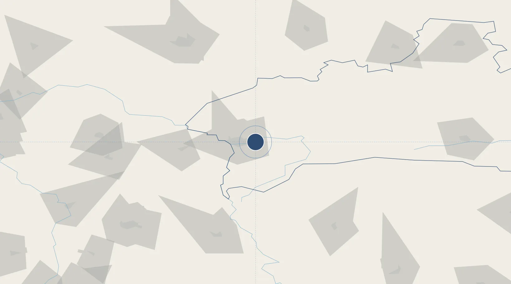
52.1081°, 23.8968°
8,596 ft
Longest runway
1
Runways
468 ft
Elevation

Runway & Layout

Brest International Airport runway & taxiway layout
Runway & taxiway layout — OpenStreetMap (ODbL) / OurAirports

Radio Frequencies

APP
127.7 MHz
OurAirports

Navaids

BY NDB Brest 985 kHz
CP NDB Brest 985 kHz
OurAirports

Runways · 1

RunwayDimensions SurfaceTrue headingLit
11/29 8,596 × 138ft Asphalt 114°
OurAirports

Airport Specifications

IATA code
BQT
OurAirports
ICAO code
UMBB
OurAirports
Airport class
Large airport
OurAirports
Scheduled service
Yes
OurAirports
Runway surface
Asphalt
OurAirports
Served city
Brest
OurAirports

Location

Location of UMBB
Natural Earth 10m (public domain) · Brest · UMBB · 52.11, 23.90GoogleOSMYandex

Nearby Logistics Neighbours

Airports
  1. 1Osovtsy Air Base84 km
  2. 2Lublin Airport126 km
  3. 3Deblin Military Air Base151 km
  4. 4Minsk Mazowiecki Military Air Base153 km
  5. 5Hrodna Airport166 km
Nearest neighbours — logibook spatial index (haversine) over the source coordinates
Cities
  1. 1Terespol20 km
  2. 2Kobylany24 km
  3. 3Bol'shiye Motykaly24 km
  4. 4Pakosc26 km
  5. 5Malaszewicze27 km
Nearest neighbours — logibook spatial index (haversine) over the source coordinates
Ports
  1. 1Kaliningrad366 km
  2. 2Baltiysk386 km
  3. 3Gdansk428 km
  4. 4Nowy Port432 km
  5. 5Klaipeda441 km
Nearest neighbours — logibook spatial index (haversine) over the source coordinates
Trade Zones
  1. 1Free Economic Zone Brest11 km
  2. 2Free Customs Area in Małaszewicze27 km
  3. 3Special Economic Zone Interport Kovel116 km
  4. 4Lublin Subzone (of Euro-Park Mielec)142 km
  5. 5Free Economic Zone Grodnoinvest178 km
Nearest neighbours — logibook spatial index (haversine) over the source coordinates
DatabookThe Record of Consolidated Knowledge
Belarus beyond logistics?
Browse databook

All Sources

AirportsOurAirports
Public domain
Portsthe NGA World Port Index
Public domain (US gov)
LocationsUN/LOCODE
UN/LOCODE — free
Trade Zonesthe World Bank SEZ database
CC BY 4.0
Trade ZonesOpen Zone Map
CC BY
InfrastructureOpenStreetMap
ODbL 1.0
← Belarus airports