Diversified Zone · Ukraine

Special Economic Zone Interport Kovel Active
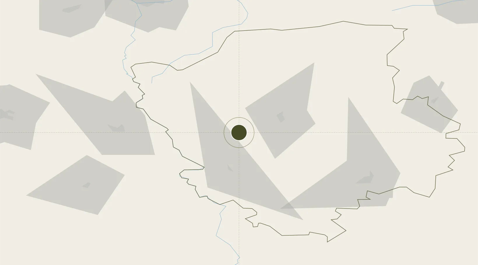
51.1158°, 24.4029°
57 ha
Zone area
477.3 km
Nearest port
115.7 km
Nearest airport

Gateway access

Nearest neighbours — logibook spatial index (haversine) over the source coordinates

Zone profile

Zone type
Diversified Zone
Open Zone Map
Region
Volyn
Open Zone Map
Status
Active
Open Zone Map
Management
Public
Open Zone Map
Operator
Council for the Development of the Special Economic Zone Interport Kovel
Open Zone Map
Legal framework
Decree of the President of Ukraine of June 22, 1999. № 702 "On the special economic zone" Interport Kovel "
Open Zone Map

Location

Location of ozm-4611
Natural Earth 10m (public domain) · Volyn · ozm-4611 · 51.12, 24.40GoogleOSMYandex

Nearby Logistics Neighbours

Ports
  1. 1Kaliningrad477 km
  2. 2Baltiysk494 km
  3. 3Gdansk527 km
  4. 4Nowy Port532 km
  5. 5Gdynia547 km
Nearest neighbours — logibook spatial index (haversine) over the source coordinates
Airports
  1. 1Brest International Airport116 km
  2. 2Lublin Airport119 km
  3. 3Rivne International Airport135 km
  4. 4Lviv International Airport148 km
  5. 5Osovtsy Air Base164 km
Nearest neighbours — logibook spatial index (haversine) over the source coordinates
Cities
  1. 1Kovel'25 km
  2. 2Orane38 km
  3. 3Dorohusk42 km
  4. 4Novovolyns'k46 km
  5. 5Hrubieszów49 km
Nearest neighbours — logibook spatial index (haversine) over the source coordinates
Trade Zones
  1. 1Free Economic Zone Brest118 km
  2. 2Free Customs Area in Małaszewicze119 km
  3. 3Lublin Subzone (of Euro-Park Mielec)139 km
  4. 4Special Economic Zone Yavoriv149 km
  5. 5Tarnobrzeg SEZ Euro-Park Wisłosan (Tarnobrzeska SSE)208 km
Nearest neighbours — logibook spatial index (haversine) over the source coordinates
DatabookThe Record of Consolidated Knowledge
Ukraine beyond logistics?
Browse databook

All Sources

Trade ZonesOpen Zone Map
CC BY
Portsthe NGA World Port Index
Public domain (US gov)
AirportsOurAirports
Public domain
LocationsUN/LOCODE
UN/LOCODE — free
← Ukraine trade zones