Transport Functions
Rail
Road
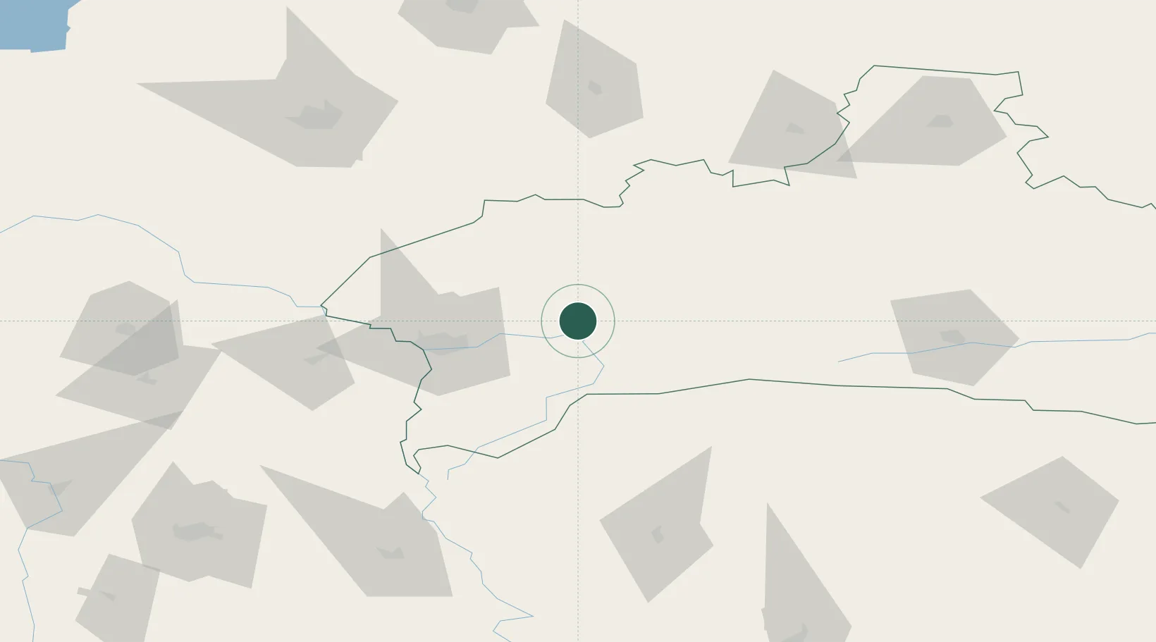
Hub Profile
Place type
Provincial seat
Region
Brest
Population
52,635
Time zone
Europe/Minsk
Elevation
147 m
Location
Nearby Logistics Neighbours
Cities
- 1Bol'shiye Motykaly52 km
- 2Terespol53 km
- 3Kobylany57 km
- 4Pakosc59 km
- 5Malaszewicze60 km
Ports
- 1Kaliningrad376 km
- 2Baltiysk399 km
- 3Klaipeda443 km
- 4Gdansk446 km
- 5Nowy Port450 km
Airports
- 1Brest International Airport33 km
- 2Osovtsy Air Base52 km
- 3Baranavichi Air Base151 km
- 4Hrodna Airport155 km
- 5Lublin Airport157 km
Trade Zones
DatabookThe Record of Consolidated Knowledge
Belarus beyond logistics?