Transport Functions
Rail
Road
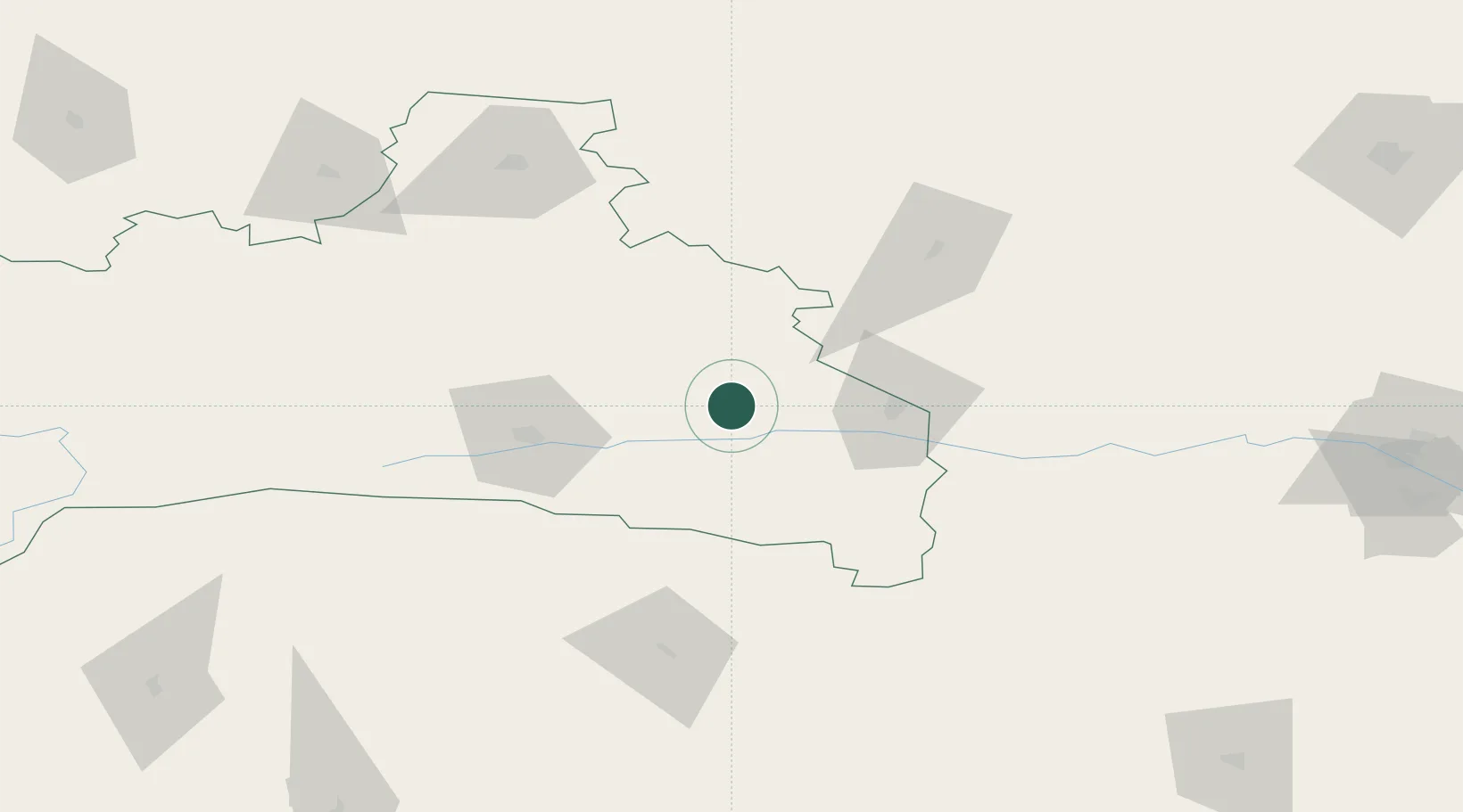
Hub Profile
Place type
Provincial seat
Region
Brest
Population
23,592
Time zone
Europe/Minsk
Elevation
133 m
Location
Nearby Logistics Neighbours
Cities
- 1Pinsk52 km
- 2Kletsk90 km
- 3Khoms108 km
- 4Slonim138 km
- 5Starye Dorogi159 km
Ports
- 1Kaliningrad500 km
- 2Klaipeda536 km
- 3Riga551 km
- 4Butinge Oil Terminal568 km
- 5Liepaja605 km
Airports
- 1Baranavichi Air Base108 km
- 2Osovtsy Air Base136 km
- 3Babruisk Air Base187 km
- 4Rivne International Airport189 km
- 5Minsk National Airport200 km
Trade Zones
DatabookThe Record of Consolidated Knowledge
Belarus beyond logistics?