Transport Functions
Port
Rail
Road
Hub Profile
Place type
Provincial seat
Region
Brest
Population
124,295
Time zone
Europe/Minsk
Elevation
148 m
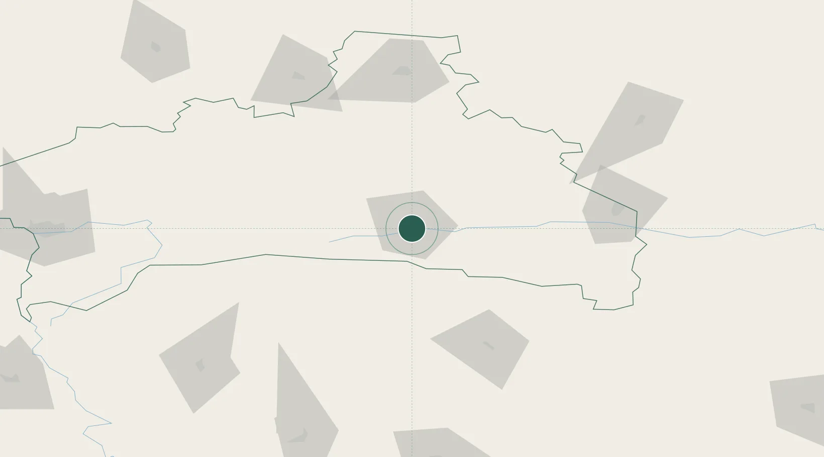
Location
Nearby Logistics Neighbours
Ports
- 1Kaliningrad469 km
- 2Klaipeda516 km
- 3Butinge Oil Terminal549 km
- 4Riga552 km
- 5Liepaja589 km
Airports
- 1Osovtsy Air Base95 km
- 2Baranavichi Air Base109 km
- 3Brest International Airport149 km
- 4Rivne International Airport168 km
- 5Hrodna Airport214 km
Trade Zones
DatabookThe Record of Consolidated Knowledge
Belarus beyond logistics?