UN/LOCODE hub · Belarus
BYVAW

Vawkavysk

53.1500°, 24.4333°
3
Transport functions

Transport Functions

Port
Rail
Road
UN/LOCODE

Location

Location of BYVAW
Natural Earth 10m (public domain) · Grodno · BYVAW · 53.15, 24.43GoogleOSMYandex

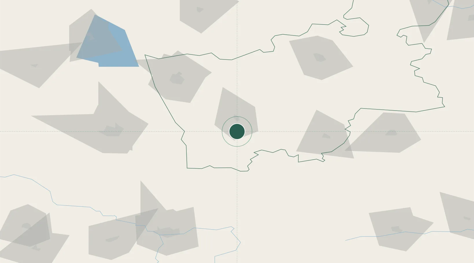
Nearby Logistics Neighbours

Cities
  1. 1Shchuchyn56 km
  2. 2Slonim59 km
  3. 3Kuznica Bialostocka65 km
  4. 4Narew67 km
  5. 5Grodno70 km
Nearest neighbours — logibook spatial index (haversine) over the source coordinates
Ports
  1. 1Kaliningrad311 km
  2. 2Baltiysk340 km
  3. 3Klaipeda357 km
  4. 4Butinge Oil Terminal391 km
  5. 5Gdansk402 km
Nearest neighbours — logibook spatial index (haversine) over the source coordinates
Airports
  1. 1Hrodna Airport56 km
  2. 2Osovtsy Air Base73 km
  3. 3Baranavichi Air Base108 km
  4. 4Brest International Airport121 km
  5. 5Vilnius International Airport174 km
Nearest neighbours — logibook spatial index (haversine) over the source coordinates
Trade Zones
  1. 1Free Economic Zone Grodnoinvest74 km
  2. 2Free Economic Zone Brest127 km
  3. 3Free Customs Area in Małaszewicze138 km
  4. 4Suwałki SEZ (Suwalska SSE)146 km
  5. 5Marijampolė Free Economic Zone173 km
Nearest neighbours — logibook spatial index (haversine) over the source coordinates
DatabookThe Record of Consolidated Knowledge
Belarus beyond logistics?
Browse databook

All Sources

LocationsUN/LOCODE
UN/LOCODE — free
Portsthe NGA World Port Index
Public domain (US gov)
AirportsOurAirports
Public domain
Trade Zonesthe World Bank SEZ database
CC BY 4.0
Trade ZonesOpen Zone Map
CC BY
← Belarus locations