Medium airport · Ukraine

Rivne International AirportUKLR
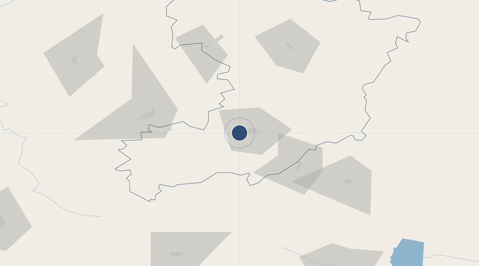
50.6071°, 26.1416°
8,615 ft
Longest runway
1
Runways
755 ft
Elevation

Runway & Layout

Rivne International Airport runway & taxiway layout
Runway & taxiway layout — OpenStreetMap (ODbL) / OurAirports

Radio Frequencies

TWR
123.7 MHz
OurAirports

Navaids

RD NDB Rivne 330 kHz
RW NDB Rivne 330 kHz
OurAirports

Runways · 1

RunwayDimensions SurfaceTrue headingLit
11/29 8,615 × 138ft Concrete 118°
OurAirports

Airport Specifications

IATA code
RWN
OurAirports
ICAO code
UKLR
OurAirports
Airport class
Medium airport
OurAirports
Scheduled service
Yes
OurAirports
Runway surface
Concrete
OurAirports
Served city
Rivne
OurAirports

Location

Location of UKLR
Natural Earth 10m (public domain) · Rivne · UKLR · 50.61, 26.14GoogleOSMYandex

Nearby Logistics Neighbours

Airports
  1. 1Khmelnytskyi Airport150 km
  2. 2Lviv International Airport179 km
  3. 3Ozerne Air Base191 km
  4. 4Ivano-Frankivsk International Airport218 km
  5. 5Brest International Airport228 km
Nearest neighbours — logibook spatial index (haversine) over the source coordinates
Cities
  1. 1Orzhiv16 km
  2. 2Rivne17 km
  3. 3Shepetovka82 km
  4. 4Berezovitsa102 km
  5. 5Novohrad-Volyns'kyy103 km
Nearest neighbours — logibook spatial index (haversine) over the source coordinates
Ports
  1. 1Odesa569 km
  2. 2Yuzhnyy572 km
  3. 3Belgorod-Dnestrovsky582 km
  4. 4Illichivsk583 km
  5. 5Mykolayiv590 km
Nearest neighbours — logibook spatial index (haversine) over the source coordinates
Trade Zones
  1. 1Special Economic Zone Interport Kovel135 km
  2. 2Special Economic Zone Yavoriv209 km
  3. 3Free Economic Zone Brest235 km
  4. 4Special Economic Zone Kurortopolis Truskavets240 km
  5. 5Free Customs Area in Małaszewicze242 km
Nearest neighbours — logibook spatial index (haversine) over the source coordinates
DatabookThe Record of Consolidated Knowledge
Ukraine beyond logistics?
Browse databook

All Sources

AirportsOurAirports
Public domain
Portsthe NGA World Port Index
Public domain (US gov)
LocationsUN/LOCODE
UN/LOCODE — free
Trade Zonesthe World Bank SEZ database
CC BY 4.0
Trade ZonesOpen Zone Map
CC BY
InfrastructureOpenStreetMap
ODbL 1.0
← Ukraine airports