Diversified Zone · Belarus

Free Economic Zone Brest Active
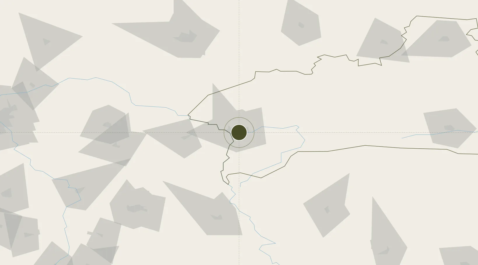
52.0934°, 23.7358°
10,800 ha
Zone area
361.2 km
Nearest port
11.1 km
Nearest airport

Gateway access

Nearest neighbours — logibook spatial index (haversine) over the source coordinates

Zone profile

Zone type
Diversified Zone
Open Zone Map
Region
Brest
Open Zone Map
Status
Active
Open Zone Map
Management
Public
Open Zone Map
Operator
Brest FEZ Administration
Open Zone Map
Legal framework
Law No. 213-3, No. 1817 of 17.12.2001, No. 1520 of 20.10.2010.
Open Zone Map

Location

Location of ozm-178
Natural Earth 10m (public domain) · Brest · ozm-178 · 52.09, 23.74GoogleOSMYandex

Nearby Logistics Neighbours

Ports
  1. 1Kaliningrad361 km
  2. 2Baltiysk380 km
  3. 3Gdansk420 km
  4. 4Nowy Port425 km
  5. 5Klaipeda438 km
Nearest neighbours — logibook spatial index (haversine) over the source coordinates
Airports
  1. 1Brest International Airport11 km
  2. 2Osovtsy Air Base94 km
  3. 3Lublin Airport118 km
  4. 4Deblin Military Air Base140 km
  5. 5Minsk Mazowiecki Military Air Base142 km
Nearest neighbours — logibook spatial index (haversine) over the source coordinates
Cities
  1. 1Terespol9 km
  2. 2Kobylany13 km
  3. 3Pakosc15 km
  4. 4Bol'shiye Motykaly16 km
  5. 5Malaszewicze16 km
Nearest neighbours — logibook spatial index (haversine) over the source coordinates
Trade Zones
  1. 1Free Customs Area in Małaszewicze16 km
  2. 2Special Economic Zone Interport Kovel118 km
  3. 3Lublin Subzone (of Euro-Park Mielec)133 km
  4. 4Free Economic Zone Grodnoinvest179 km
  5. 5Warsaw Airport Duty Free Zone189 km
Nearest neighbours — logibook spatial index (haversine) over the source coordinates
DatabookThe Record of Consolidated Knowledge
Belarus beyond logistics?
Browse databook

All Sources

Trade ZonesOpen Zone Map
CC BY
Portsthe NGA World Port Index
Public domain (US gov)
AirportsOurAirports
Public domain
LocationsUN/LOCODE
UN/LOCODE — free
← Belarus trade zones