Transport Functions
Multimodal
Hub Profile
Place type
Provincial seat
Region
South Kurzeme Municipality
Population
495
Time zone
Europe/Riga
Elevation
12 m
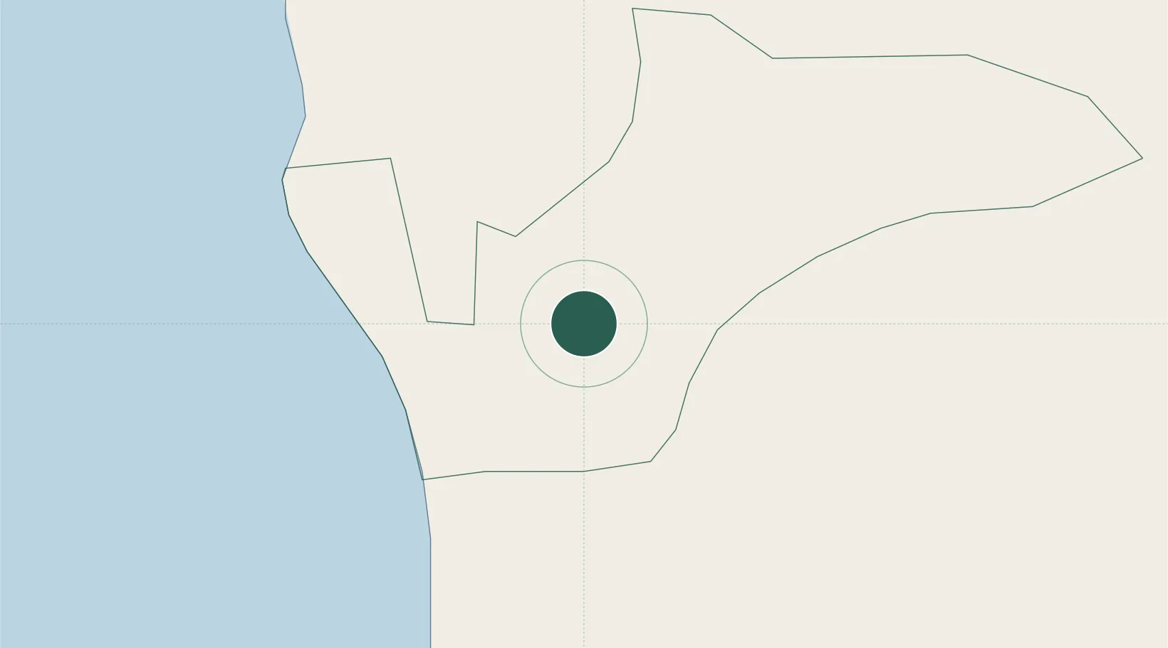
Location
Nearby Logistics Neighbours
Ports
- 1Butinge Oil Terminal19 km
- 2Liepaja40 km
- 3Klaipeda50 km
- 4Ventspils139 km
- 5Kaliningrad168 km
Airports
- 1Palanga International Airport22 km
- 2Liepāja International Airport39 km
- 3Šiauliai International Airport143 km
- 4Khrabrovo Airport146 km
- 5Barysiai Airfield150 km
Trade Zones
- 1Liepāja SEZ17 km
- 2Klaipėda Free Economic Zone84 km
- 3Akmenė Free Economic Zone99 km
- 4Free port of Ventspils139 km
- 5ō iauliai Free Economic Zone141 km
DatabookThe Record of Consolidated Knowledge
Latvia beyond logistics?