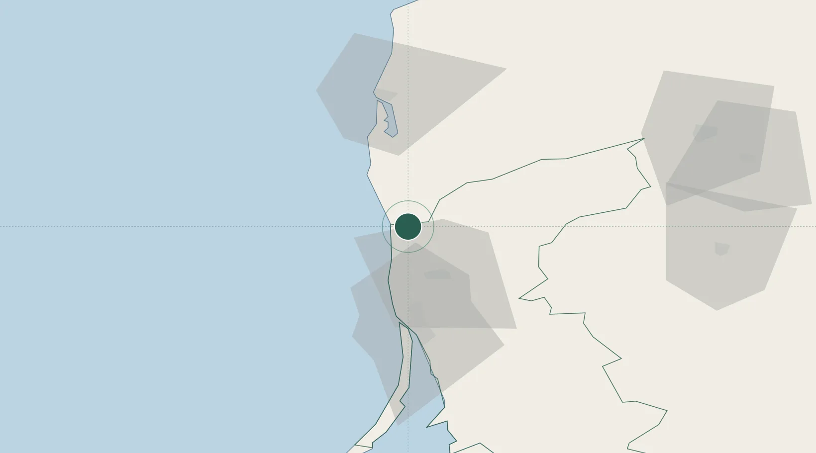
UN/LOCODE hub · Lithuania
LTBOT

Botingé

56.0667°, 21.1167°
1
Transport functions

Transport Functions

Port
Botingé is also a profiled seaport →
UN/LOCODE

Location

Location of LTBOT
Natural Earth 10m (public domain) · Klaipedos · LTBOT · 56.07, 21.12GoogleOSMYandex

Nearby Logistics Neighbours

Cities
  1. 1Rucava11 km
  2. 2Kretinga22 km
  3. 3Kalote32 km
  4. 4Malku ilankos juru uosto PVP/Klaipeda39 km
  5. 5Molo juru uosto PVP/Klaipeda39 km
Nearest neighbours — logibook spatial index (haversine) over the source coordinates
Ports
  1. 1Klaipeda39 km
  2. 2Liepaja50 km
  3. 3Ventspils150 km
  4. 4Kaliningrad157 km
  5. 5Baltiysk177 km
Nearest neighbours — logibook spatial index (haversine) over the source coordinates
Airports
  1. 1Palanga International Airport11 km
  2. 2Liepāja International Airport50 km
  3. 3Khrabrovo Airport135 km
  4. 4Šiauliai International Airport143 km
  5. 5Barysiai Airfield152 km
Nearest neighbours — logibook spatial index (haversine) over the source coordinates
Trade Zones
  1. 1Liepāja SEZ27 km
  2. 2Klaipėda Free Economic Zone73 km
  3. 3Akmenė Free Economic Zone102 km
  4. 4ō iauliai Free Economic Zone141 km
  5. 5Free port of Ventspils150 km
Nearest neighbours — logibook spatial index (haversine) over the source coordinates
DatabookThe Record of Consolidated Knowledge
Lithuania beyond logistics?
Browse databook

All Sources

LocationsUN/LOCODE
UN/LOCODE — free
Portsthe NGA World Port Index
Public domain (US gov)
AirportsOurAirports
Public domain
Trade Zonesthe World Bank SEZ database
CC BY 4.0
Trade ZonesOpen Zone Map
CC BY
← Lithuania locations