Transport Functions
Rail
Road
Hub Profile
Place type
Provincial seat
Region
South Kurzeme Municipality
Population
3,674
Time zone
Europe/Riga
Elevation
24 m
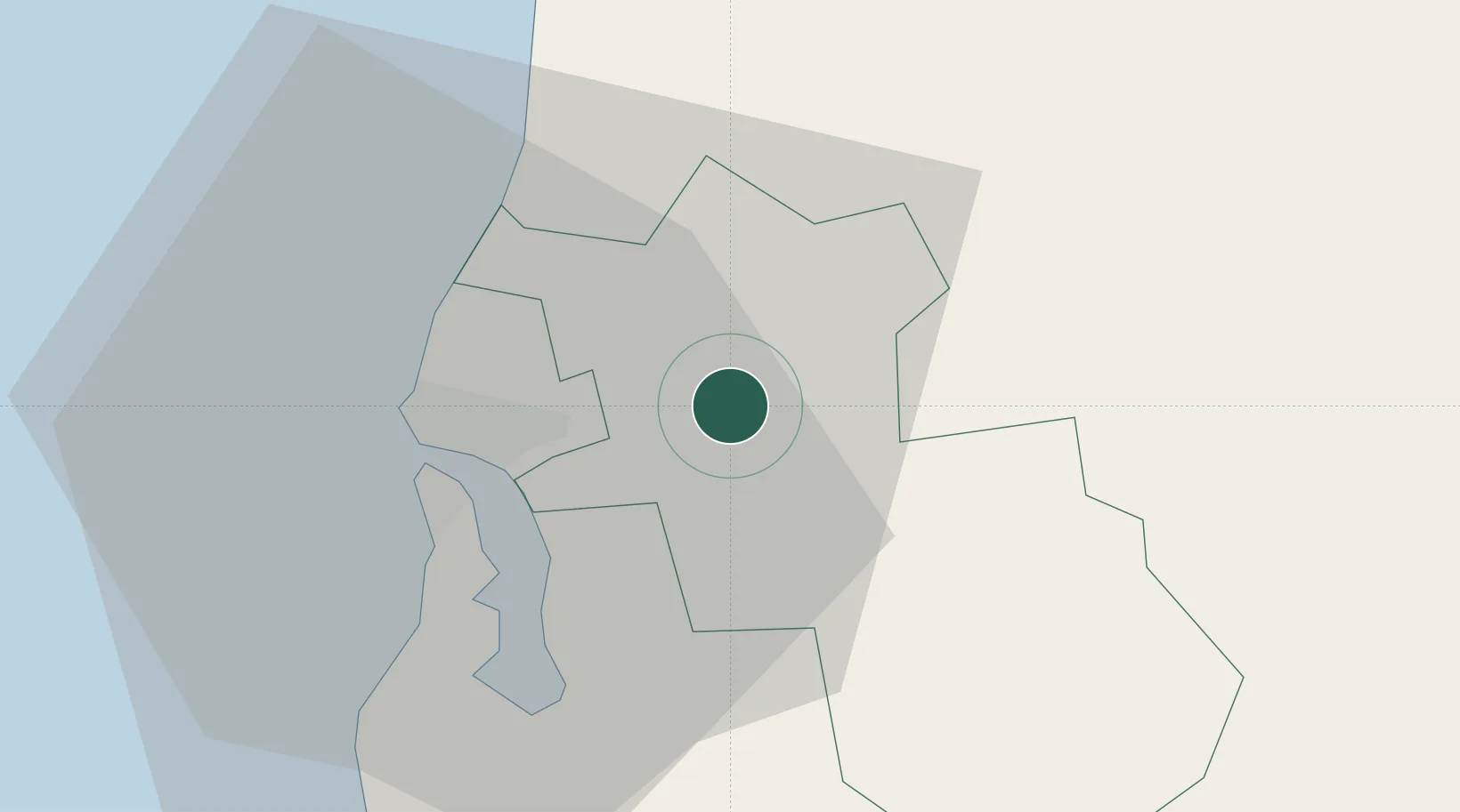
Location
Nearby Logistics Neighbours
Ports
- 1Liepaja10 km
- 2Butinge Oil Terminal59 km
- 3Klaipeda93 km
- 4Ventspils97 km
- 5Ronehamn174 km
Airports
- 1Liepāja International Airport6 km
- 2Palanga International Airport64 km
- 3Jūrmala Airport133 km
- 4Šiauliai International Airport156 km
- 5Barysiai Airfield157 km
Trade Zones
- 1Liepāja SEZ29 km
- 2Free port of Ventspils97 km
- 3Akmenė Free Economic Zone103 km
- 4Klaipėda Free Economic Zone126 km
- 5ō iauliai Free Economic Zone154 km
DatabookThe Record of Consolidated Knowledge
Latvia beyond logistics?