Transport Functions
Port
Road
Airport
Hub Profile
Place type
Regional capital
Region
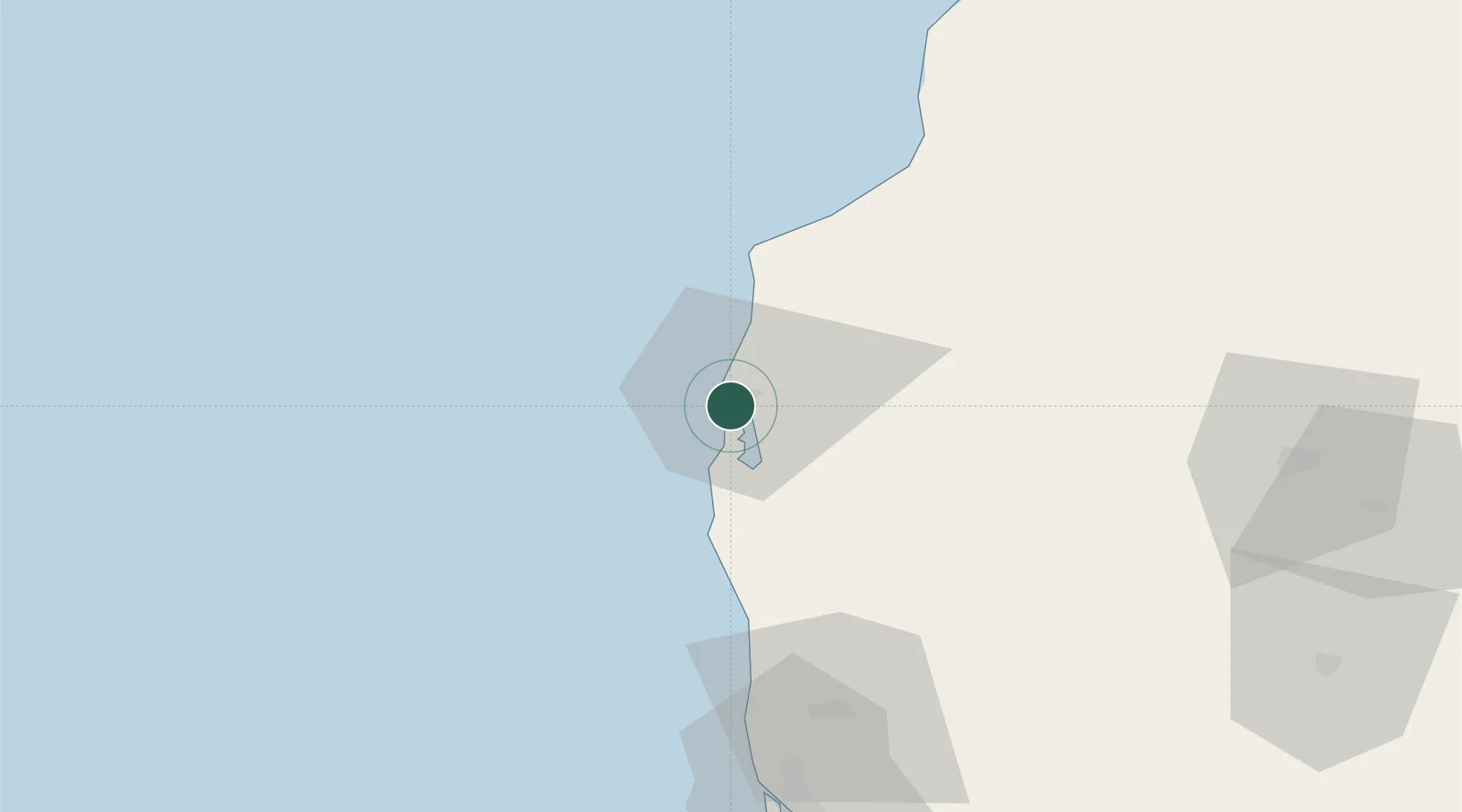
Liepāja
Population
67,421
Time zone
Europe/Riga
Elevation
6 m
Location
Nearby Logistics Neighbours
Ports
- 1Butinge Oil Terminal54 km
- 2Klaipeda89 km
- 3Ventspils103 km
- 4Ronehamn167 km
- 5Slite187 km
Airports
- 1Liepāja International Airport5 km
- 2Palanga International Airport61 km
- 3Jūrmala Airport143 km
- 4Šiauliai International Airport163 km
- 5Barysiai Airfield165 km
Trade Zones
- 1Liepāja SEZ24 km
- 2Free port of Ventspils103 km
- 3Akmenė Free Economic Zone110 km
- 4Klaipėda Free Economic Zone123 km
- 5ō iauliai Free Economic Zone161 km
DatabookThe Record of Consolidated Knowledge
Latvia beyond logistics?