Transport Functions
Multimodal
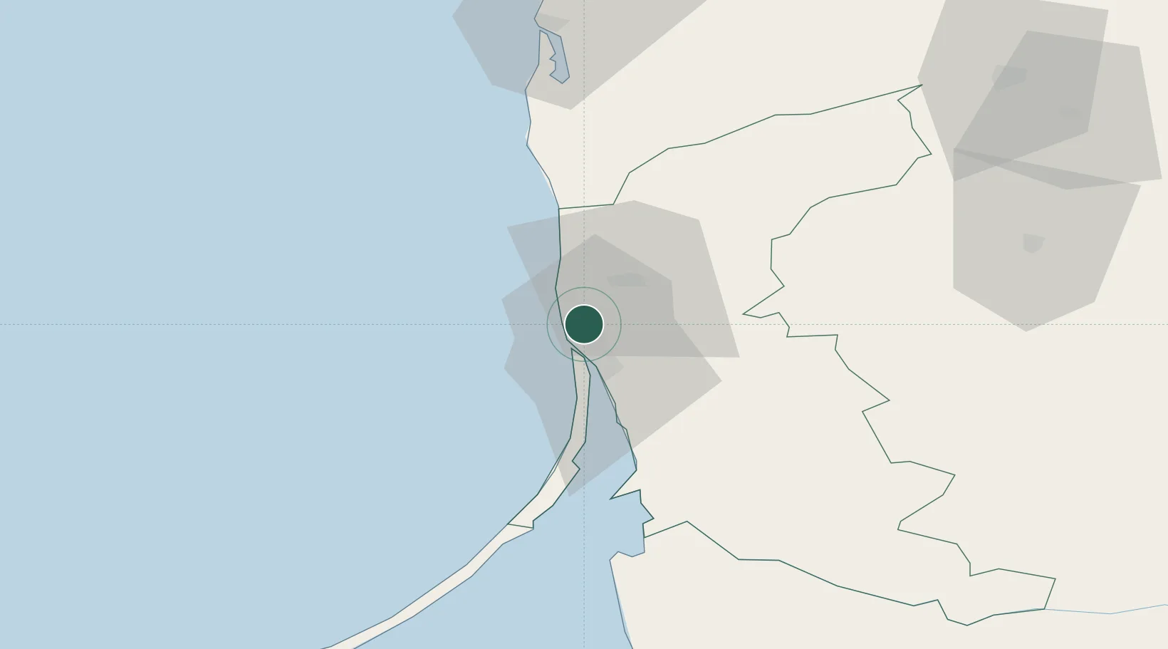
Hub Profile
Place type
Populated place
Region
Klaipėda County
Time zone
Europe/Vilnius
Elevation
28 m
Location
Nearby Logistics Neighbours
Cities
Ports
- 1Klaipeda7 km
- 2Butinge Oil Terminal30 km
- 3Liepaja82 km
- 4Kaliningrad127 km
- 5Baltiysk149 km
Airports
Trade Zones
- 1Klaipėda Free Economic Zone41 km
- 2Liepāja SEZ58 km
- 3Akmenė Free Economic Zone113 km
- 4ō iauliai Free Economic Zone141 km
- 5Free port of Ventspils182 km
DatabookThe Record of Consolidated Knowledge
Lithuania beyond logistics?