Transport Functions
Rail
Road
Hub Profile
Place type
Provincial seat
Region
Klaipėda County
Population
17,249
Time zone
Europe/Vilnius
Elevation
25 m
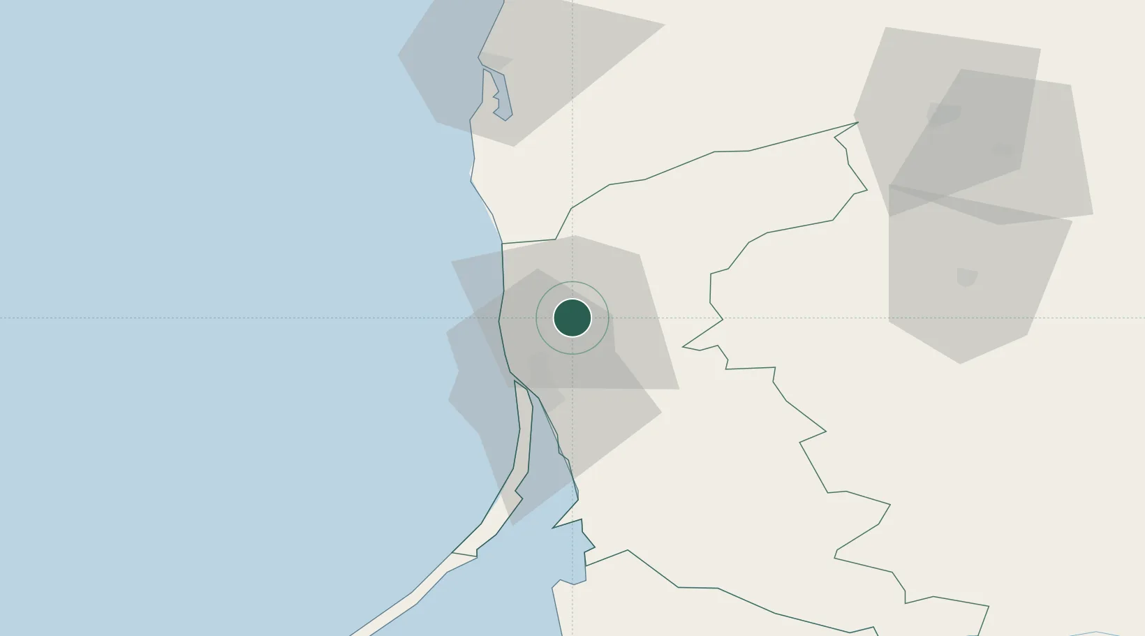
Location
Nearby Logistics Neighbours
Cities
- 1Kalote13 km
- 2Malku ilankos juru uosto PVP/Klaipeda20 km
- 3Molo juru uosto PVP/Klaipeda20 km
- 4Pilies juru uosto PVP/Klaipeda21 km
- 5Botingé22 km
Ports
- 1Klaipeda20 km
- 2Butinge Oil Terminal24 km
- 3Liepaja72 km
- 4Kaliningrad140 km
- 5Baltiysk163 km
Airports
Trade Zones
- 1Liepāja SEZ49 km
- 2Klaipėda Free Economic Zone53 km
- 3Akmenė Free Economic Zone102 km
- 4ō iauliai Free Economic Zone133 km
- 5Free port of Ventspils170 km
DatabookThe Record of Consolidated Knowledge
Lithuania beyond logistics?