Transport Functions
Rail
Road
Hub Profile
Place type
Regional capital
Region
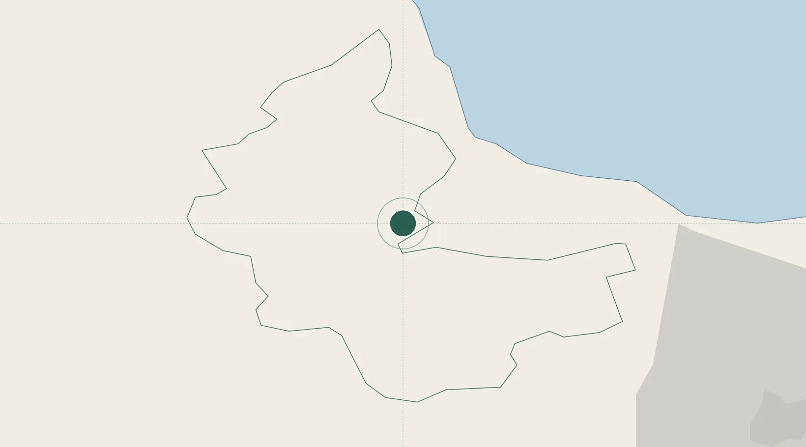
Tukums Municipality
Population
16,182
Time zone
Europe/Riga
Elevation
62 m
Location
Nearby Logistics Neighbours
Ports
- 1Riga58 km
- 2Ventspils109 km
- 3Salacgriva110 km
- 4Liepaja139 km
- 5Roomassaare144 km
Airports
- 1Jūrmala Airport5 km
- 2Riga International Airport50 km
- 3Ruhnu Airfield91 km
- 4Barysiai Airfield103 km
- 5Šiauliai International Airport120 km
Trade Zones
- 1Free Port of Riga58 km
- 2Akmenė Free Economic Zone84 km
- 3Free port of Ventspils109 km
- 4ō iauliai Free Economic Zone119 km
- 5Liepāja SEZ150 km
DatabookThe Record of Consolidated Knowledge
Latvia beyond logistics?