Transport Functions
Port
Rail
Road
Hub Profile
Place type
Provincial seat
Region
Talsu novads
Population
1,860
Time zone
Europe/Riga
Elevation
5 m
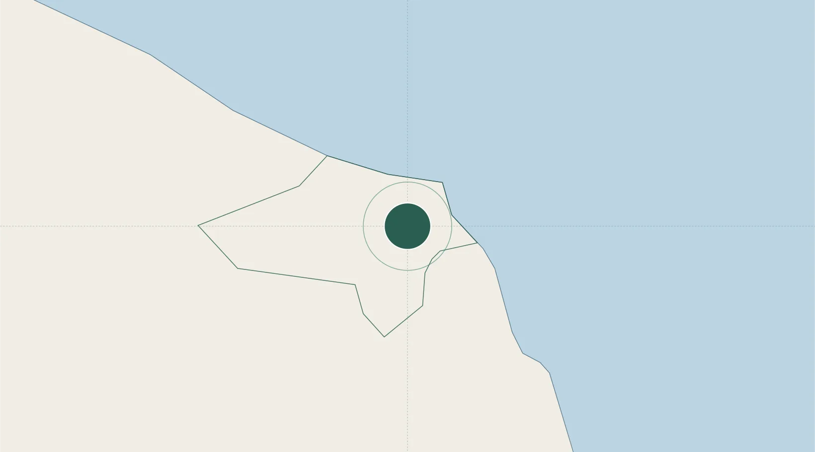
Location
Nearby Logistics Neighbours
Ports
- 1Riga74 km
- 2Salacgriva86 km
- 3Ventspils94 km
- 4Roomassaare104 km
- 5Virtsu140 km
Airports
- 1Jūrmala Airport44 km
- 2Ruhnu Airfield51 km
- 3Riga International Airport70 km
- 4Kuressaare Airport106 km
- 5Barysiai Airfield143 km
Trade Zones
- 1Free Port of Riga73 km
- 2Free port of Ventspils95 km
- 3Akmenė Free Economic Zone123 km
- 4ō iauliai Free Economic Zone160 km
- 5Liepāja SEZ171 km
DatabookThe Record of Consolidated Knowledge
Latvia beyond logistics?