Transport Functions
Multimodal
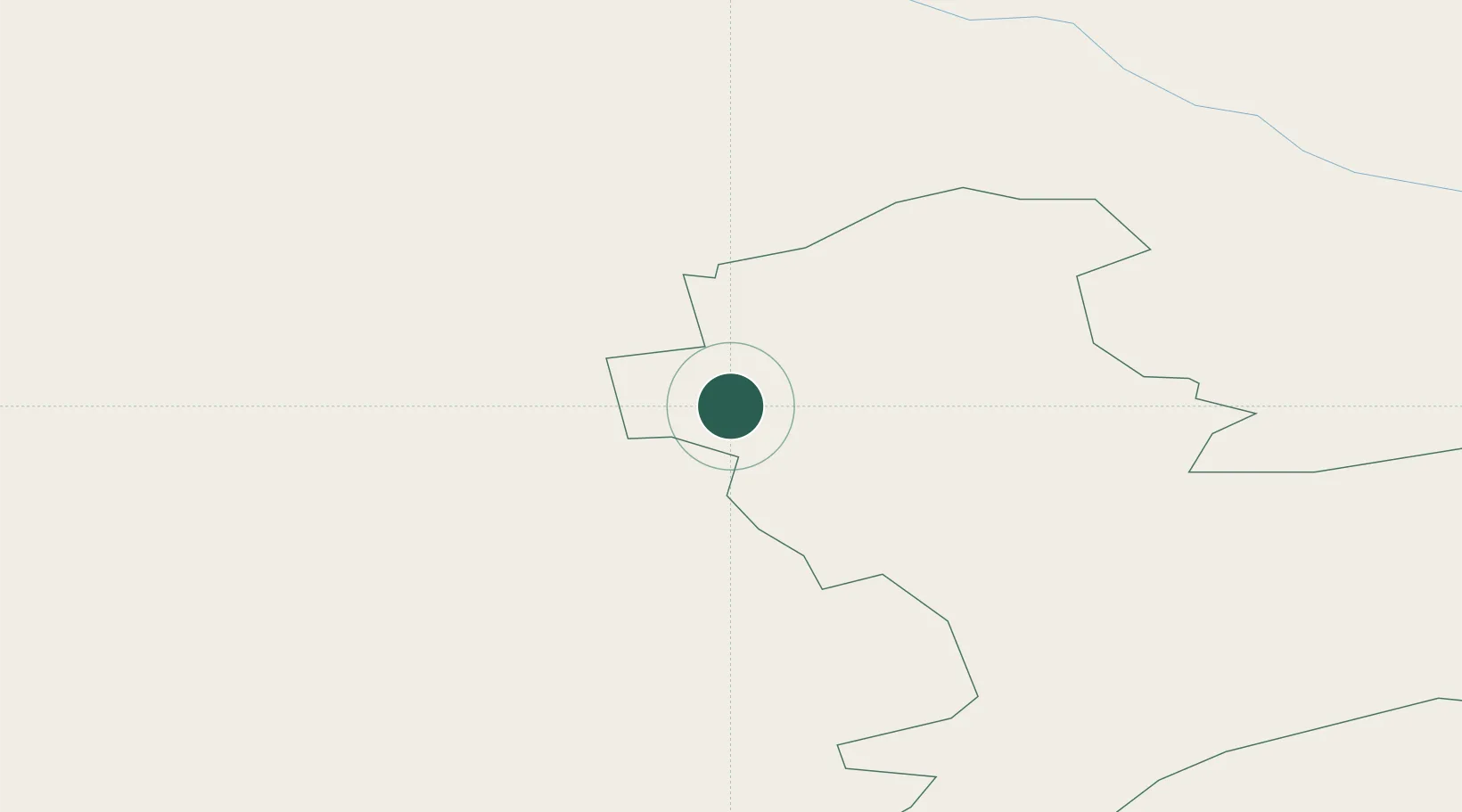
Hub Profile
Place type
Populated place
Region
Bauska Municipality
Time zone
Europe/Riga
Elevation
31 m
Location
Nearby Logistics Neighbours
Ports
- 1Riga44 km
- 2Salacgriva124 km
- 3Parnu200 km
- 4Roomassaare213 km
- 5Virtsu228 km
Airports
- 1Riga International Airport45 km
- 2Barysiai Airfield76 km
- 3Jūrmala Airport81 km
- 4Jēkabpils Air Base93 km
- 5Panevėžys Air Base95 km
Trade Zones
- 1Free Port of Riga45 km
- 2ō iauliai Free Economic Zone99 km
- 3Akmenė Free Economic Zone108 km
- 4Panevėžys Free Economic Zone128 km
- 5Kėdainiai Free Economic Zone149 km
DatabookThe Record of Consolidated Knowledge
Latvia beyond logistics?