Transport Functions
Port
Road
Hub Profile
Place type
Provincial seat
Region
South Kurzeme Municipality
Population
858
Time zone
Europe/Riga
Elevation
8 m
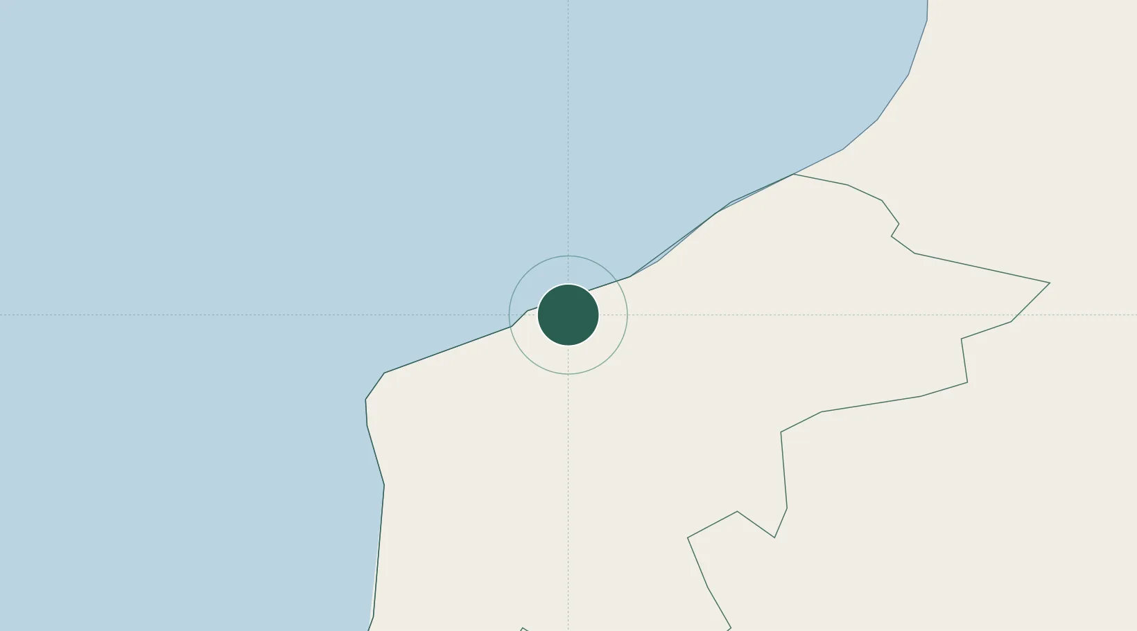
Location
Nearby Logistics Neighbours
Ports
- 1Liepaja42 km
- 2Ventspils61 km
- 3Butinge Oil Terminal96 km
- 4Klaipeda130 km
- 5Ronehamn165 km
Airports
- 1Liepāja International Airport41 km
- 2Palanga International Airport101 km
- 3Jūrmala Airport124 km
- 4Ruhnu Airfield160 km
- 5Riga International Airport169 km
Trade Zones
- 1Free port of Ventspils61 km
- 2Liepāja SEZ65 km
- 3Akmenė Free Economic Zone119 km
- 4Klaipėda Free Economic Zone163 km
- 5ō iauliai Free Economic Zone173 km
DatabookThe Record of Consolidated Knowledge
Latvia beyond logistics?