Transport Functions
Rail
Road
Hub Profile
Place type
Regional capital
Region
Ogre
Population
22,767
Time zone
Europe/Riga
Elevation
21 m
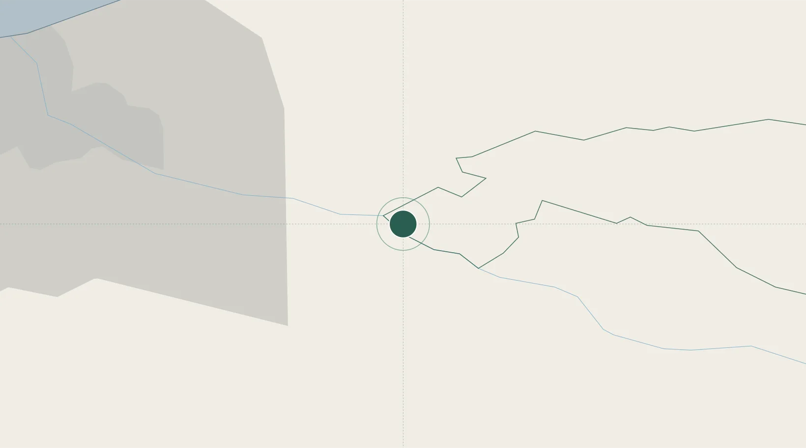
Location
Nearby Logistics Neighbours
Ports
- 1Riga36 km
- 2Salacgriva101 km
- 3Parnu176 km
- 4Roomassaare202 km
- 5Virtsu208 km
Airports
- 1Riga International Airport42 km
- 2Jēkabpils Air Base83 km
- 3Jūrmala Airport86 km
- 4Barysiai Airfield104 km
- 5Panevėžys Air Base119 km
Trade Zones
- 1Free Port of Riga36 km
- 2ō iauliai Free Economic Zone126 km
- 3Akmenė Free Economic Zone131 km
- 4Panevėžys Free Economic Zone154 km
- 5Latgale SEZ167 km
DatabookThe Record of Consolidated Knowledge
Latvia beyond logistics?