Transport Functions
Multimodal
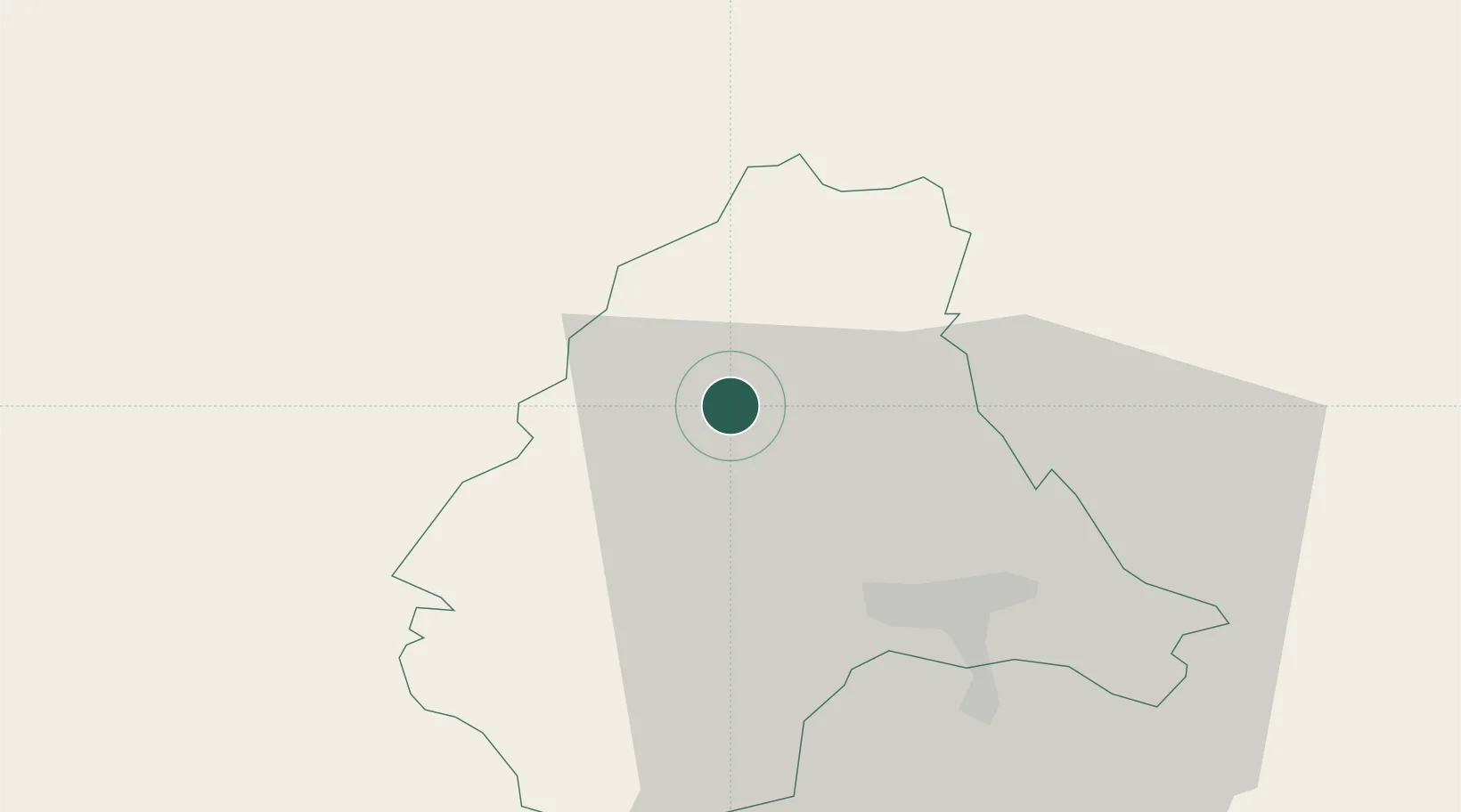
Hub Profile
Place type
Populated place
Region
Wiltz
Population
313
Time zone
Europe/Luxembourg
Elevation
492 m
Location
Nearby Logistics Neighbours
Cities
- 1Lentzweiler8 km
- 2Doncols9 km
- 3Huldange17 km
- 4Wemperhardt18 km
- 5Colmar24 km
Airports
Trade Zones
- 1Luxembourg Free Port45 km
- 2ZFU Ronde Couture93 km
- 3ZFU Woippy-Metz96 km
- 4ZFU Metz101 km
- 5Rheinische Revier SWZ106 km
DatabookThe Record of Consolidated Knowledge
Luxembourg beyond logistics?