Transport Functions
Rail
Road
Hub Profile
Place type
Urban district
Region
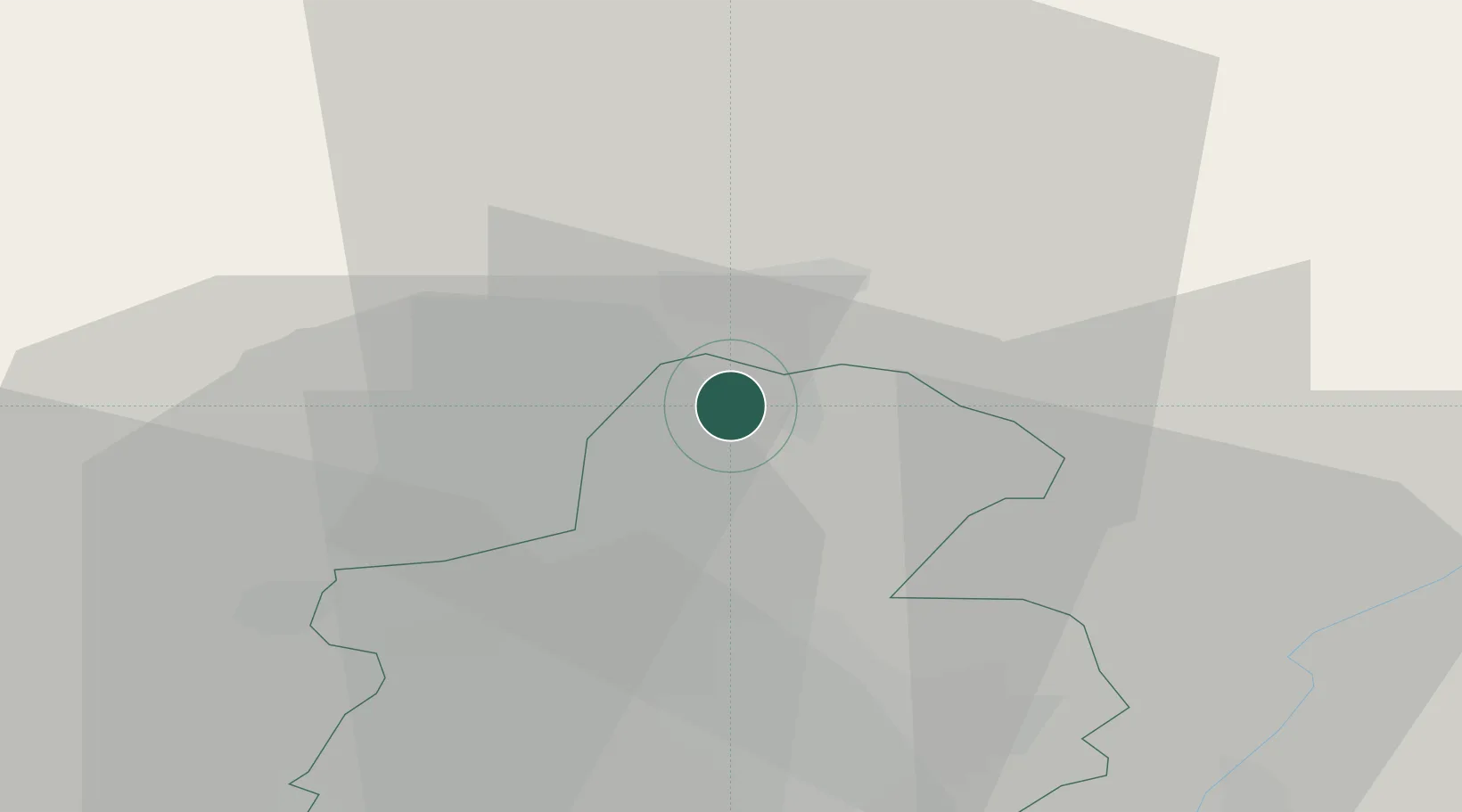
Mersch
Population
1,776
Time zone
Europe/Luxembourg
Elevation
237 m
Location
Nearby Logistics Neighbours
Cities
- 1Lintgen10 km
- 2Lorentzweiler12 km
- 3Beckerich17 km
- 4Grundhof17 km
- 5Mamer19 km
Airports
Trade Zones
- 1Luxembourg Free Port21 km
- 2ZFU Woippy-Metz72 km
- 3ZFU Metz78 km
- 4ZFU La Cité Behren-lès-Forbach93 km
- 5ZFU Ronde Couture98 km
DatabookThe Record of Consolidated Knowledge
Luxembourg beyond logistics?