Transport Functions
Road
Multimodal
Hub Profile
Place type
Locality
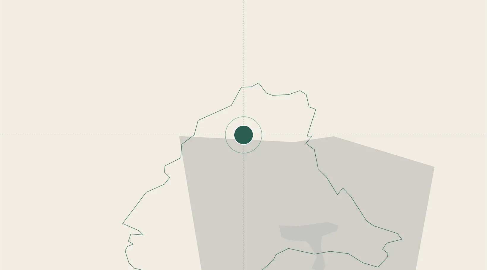
Region
Clervaux
Time zone
Europe/Luxembourg
Elevation
520 m
Location
Nearby Logistics Neighbours
Cities
- 1Knaphoscheid8 km
- 2Huldange10 km
- 3Wemperhardt11 km
- 4Doncols15 km
- 5Lünebach28 km
Airports
- 1Luxembourg-Findel International Airport52 km
- 2Spangdahlem Air Base53 km
- 3Liège Airport74 km
- 4Büchel Air Base79 km
- 5Frankfurt-Hahn Airport94 km
Trade Zones
- 1Luxembourg Free Port51 km
- 2ZFU Ronde Couture96 km
- 3Rheinische Revier SWZ98 km
- 4ZFU Woippy-Metz103 km
- 5ZFU Metz108 km
DatabookThe Record of Consolidated Knowledge
Luxembourg beyond logistics?