Transport Functions
Multimodal
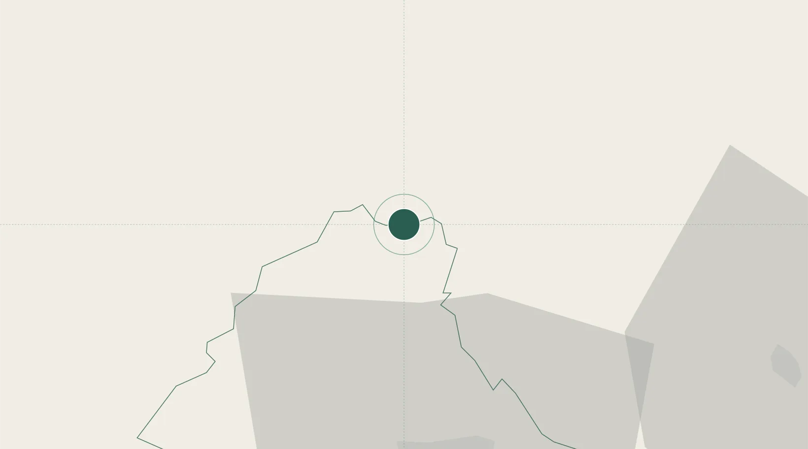
Hub Profile
Place type
Locality
Region
Clervaux
Time zone
Europe/Luxembourg
Elevation
521 m
Location
Nearby Logistics Neighbours
Cities
- 1Huldange4 km
- 2Lentzweiler11 km
- 3Knaphoscheid18 km
- 4Pronsfeld20 km
- 5Lünebach22 km
Airports
- 1Spangdahlem Air Base50 km
- 2Luxembourg-Findel International Airport59 km
- 3Liège Airport69 km
- 4Büchel Air Base72 km
- 5Maastricht Aachen Airport87 km
Trade Zones
- 1Luxembourg Free Port58 km
- 2Rheinische Revier SWZ88 km
- 3ZFU Ronde Couture105 km
- 4ZFU Woippy-Metz111 km
- 5ZFU Metz117 km
DatabookThe Record of Consolidated Knowledge
Luxembourg beyond logistics?