Transport Functions
Multimodal
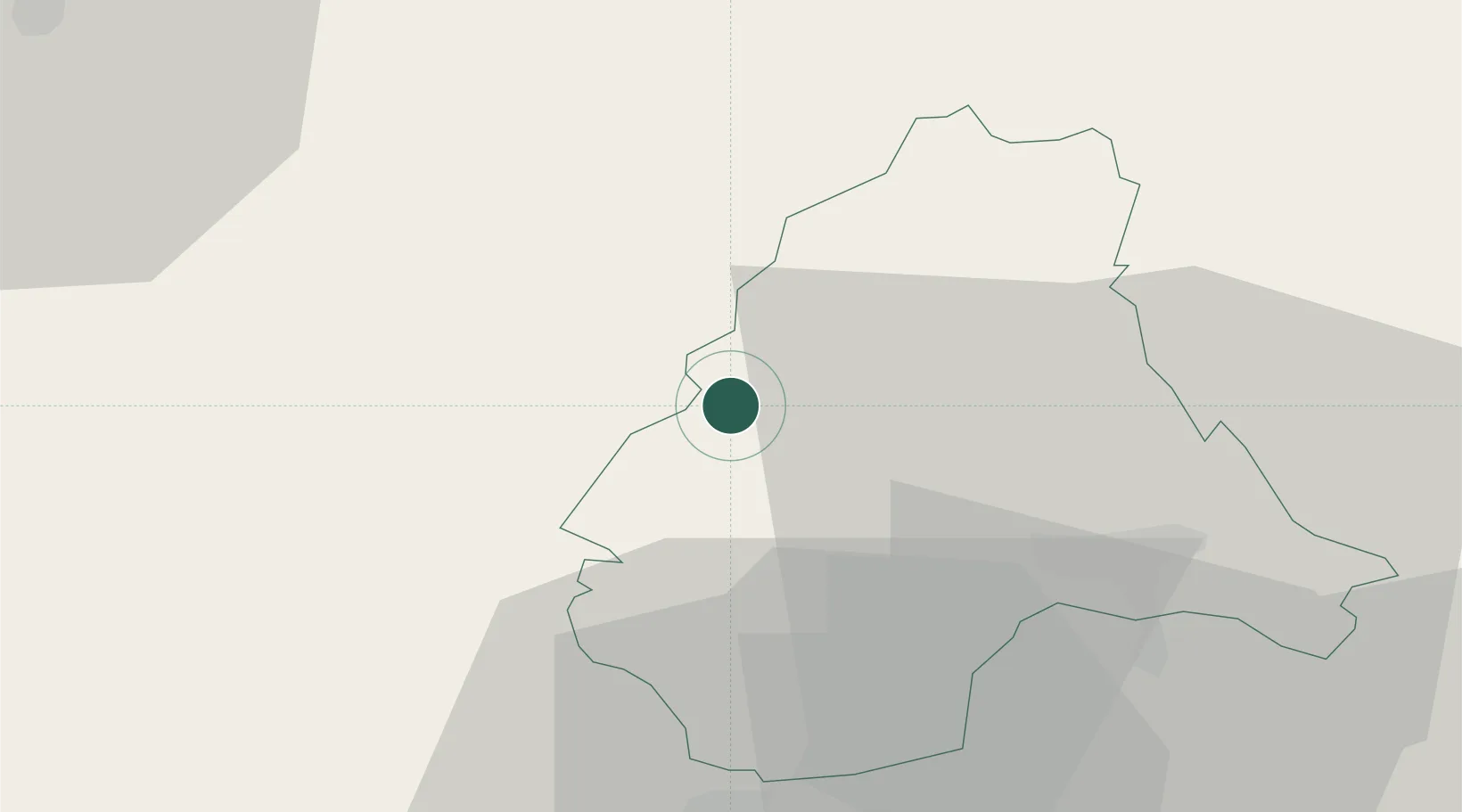
Hub Profile
Place type
Populated place
Region
Wiltz
Population
232
Time zone
Europe/Luxembourg
Elevation
466 m
Location
Nearby Logistics Neighbours
Cities
- 1Knaphoscheid9 km
- 2Lentzweiler15 km
- 3Huldange24 km
- 4Wemperhardt26 km
- 5Colmar26 km
Airports
Trade Zones
- 1Luxembourg Free Port46 km
- 2ZFU Ronde Couture84 km
- 3ZFU Woippy-Metz94 km
- 4ZFU Metz99 km
- 5Rheinische Revier SWZ112 km
DatabookThe Record of Consolidated Knowledge
Luxembourg beyond logistics?