Transport Functions
Multimodal
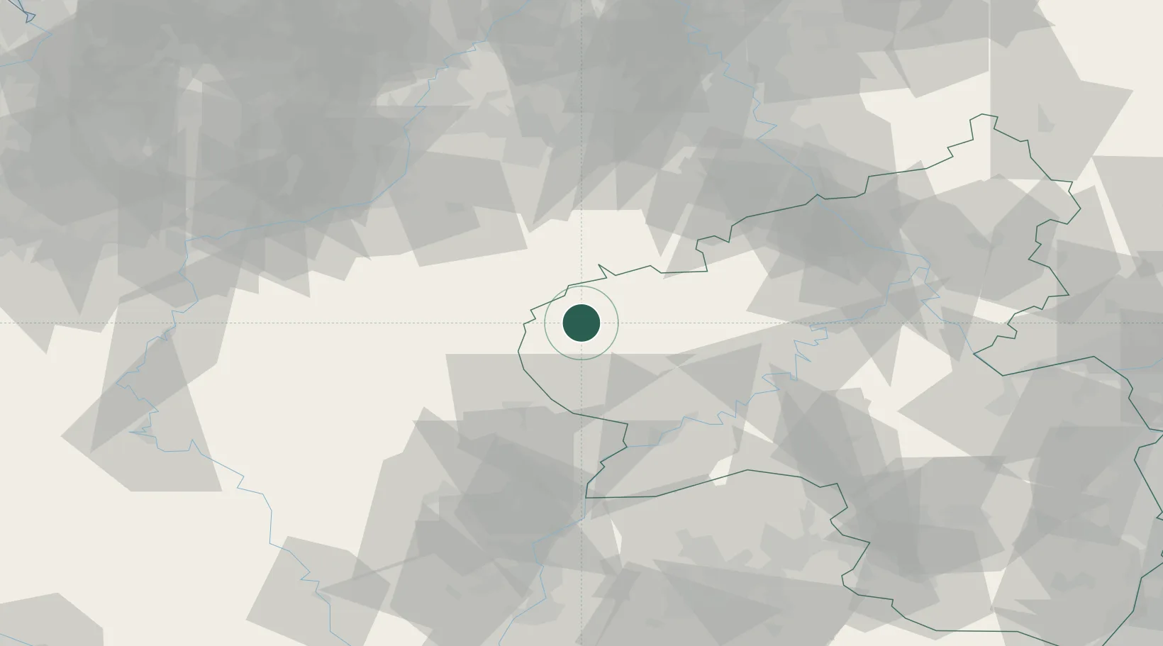
Hub Profile
Place type
Local administrative seat
Region
Rheinland-Pfalz
Population
962
Time zone
Europe/Berlin
Elevation
384 m
Location
Nearby Logistics Neighbours
Airports
- 1Spangdahlem Air Base34 km
- 2Büchel Air Base52 km
- 3Luxembourg-Findel International Airport61 km
- 4Frankfurt-Hahn Airport71 km
- 5Nörvenich Air Base77 km
Trade Zones
- 1Luxembourg Free Port59 km
- 2Rheinische Revier SWZ83 km
- 3ZFU Woippy-Metz114 km
- 4ZFU Metz119 km
- 5ZFU La Cité Behren-lès-Forbach119 km
DatabookThe Record of Consolidated Knowledge
Germany beyond logistics?