Transport Functions
Rail
Road
Hub Profile
Place type
Provincial seat
Region
Vilnius
Population
7,321
Time zone
Europe/Vilnius
Elevation
115 m
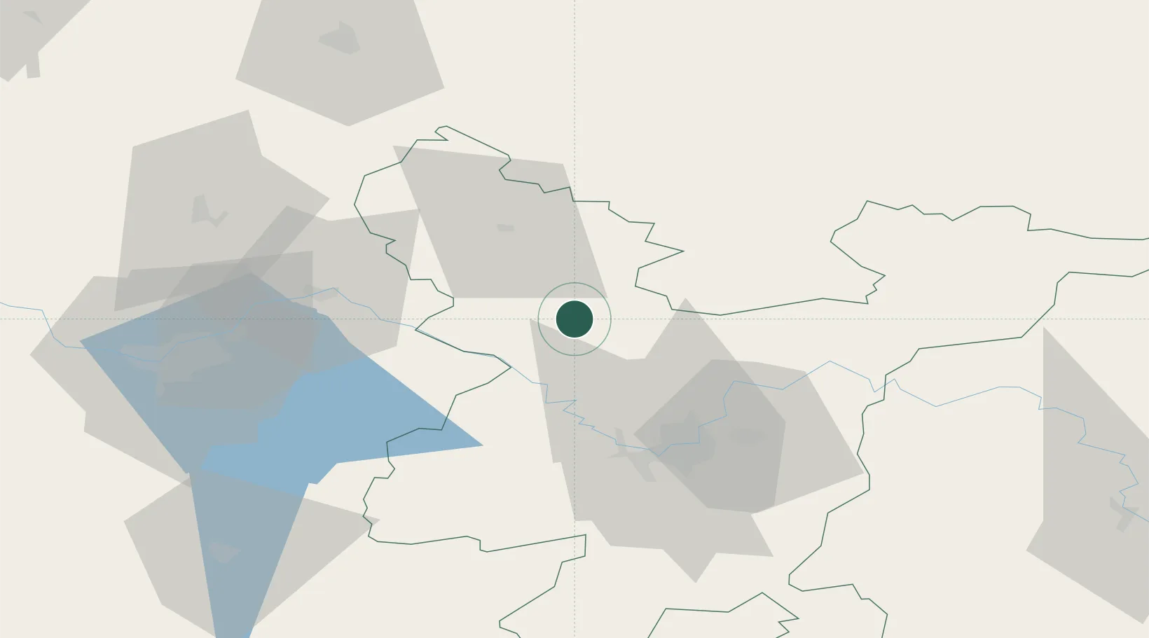
Location
Nearby Logistics Neighbours
Cities
- 1Ukmerge29 km
- 2Vievis30 km
- 3Kaisiadorys37 km
- 4Moletai37 km
- 5Vilnius43 km
Ports
- 1Riga222 km
- 2Klaipeda255 km
- 3Butinge Oil Terminal277 km
- 4Kaliningrad289 km
- 5Liepaja298 km
Airports
- 1Jonava Air Base39 km
- 2Vilnius International Airport47 km
- 3Kaunas International Airport57 km
- 4Kėdainiai Air Base72 km
- 5Panevėžys Air Base86 km
Trade Zones
DatabookThe Record of Consolidated Knowledge
Lithuania beyond logistics?