Transport Functions
Rail
Road
Hub Profile
Place type
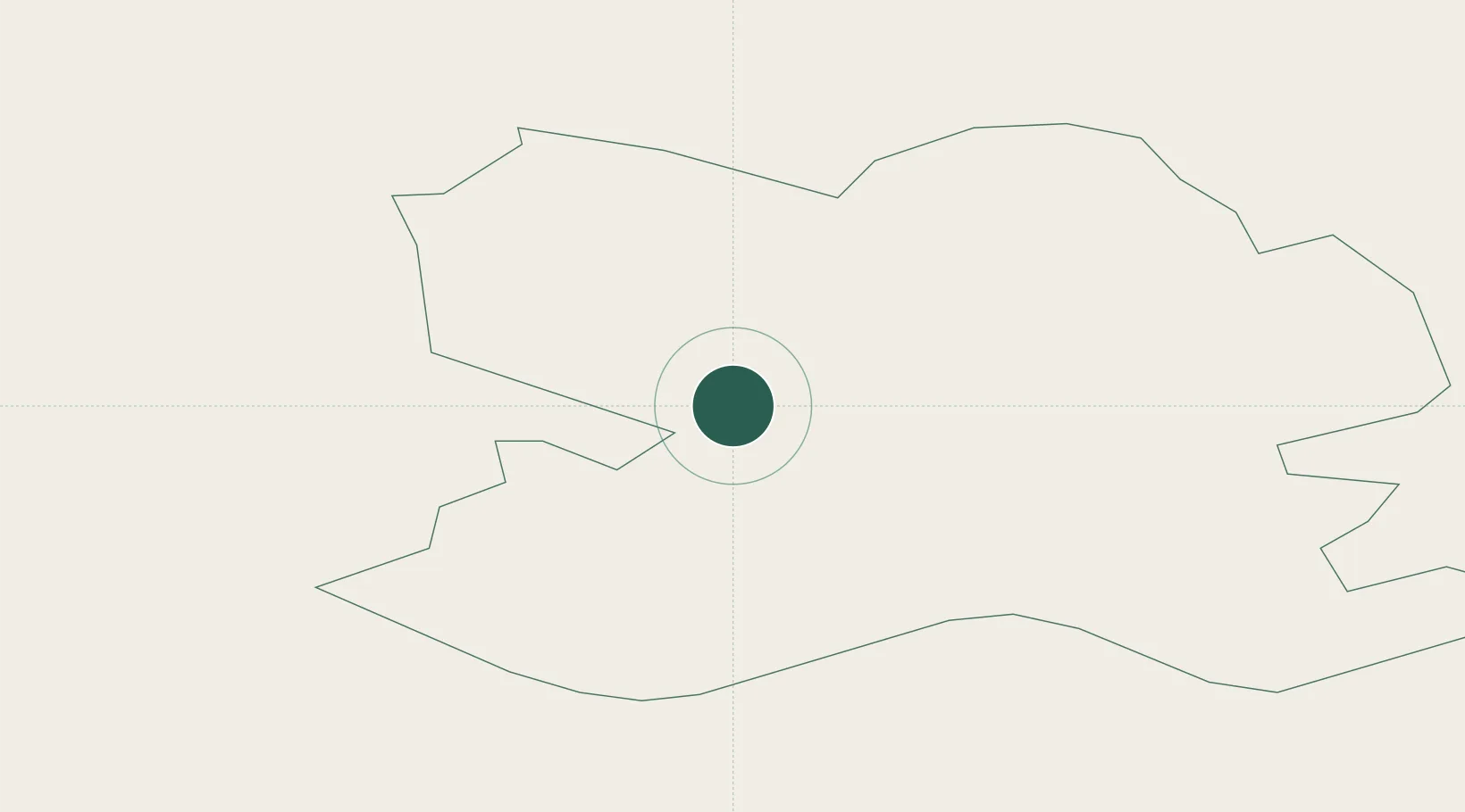
Regional capital
Region
Bauska Municipality
Population
9,709
Time zone
Europe/Riga
Elevation
27 m
Location
Nearby Logistics Neighbours
Ports
- 1Riga61 km
- 2Salacgriva145 km
- 3Parnu221 km
- 4Roomassaare226 km
- 5Virtsu245 km
Airports
- 1Barysiai Airfield53 km
- 2Riga International Airport59 km
- 3Šiauliai International Airport75 km
- 4Panevėžys Air Base77 km
- 5Jūrmala Airport84 km
Trade Zones
- 1Free Port of Riga62 km
- 2ō iauliai Free Economic Zone75 km
- 3Akmenė Free Economic Zone91 km
- 4Panevėžys Free Economic Zone107 km
- 5Kėdainiai Free Economic Zone127 km
DatabookThe Record of Consolidated Knowledge
Latvia beyond logistics?