Transport Functions
Rail
Road
Hub Profile
Place type
Provincial seat
Region
Panevėžys
Population
8,263
Time zone
Europe/Vilnius
Elevation
96 m
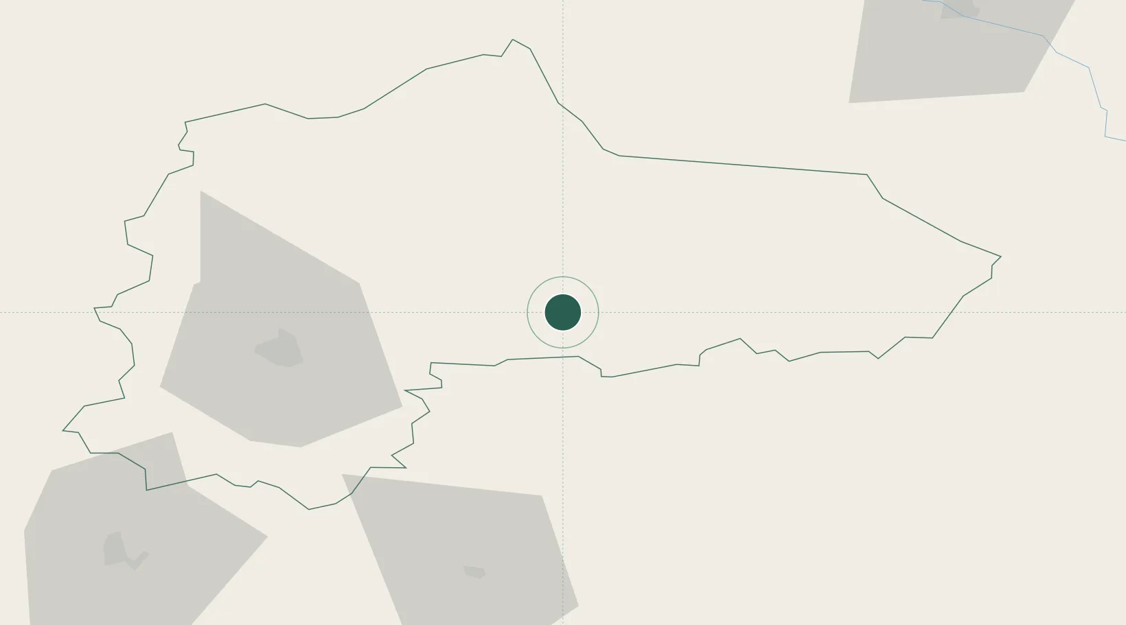
Location
Nearby Logistics Neighbours
Ports
- 1Riga136 km
- 2Salacgriva211 km
- 3Klaipeda242 km
- 4Butinge Oil Terminal252 km
- 5Liepaja257 km
Airports
- 1Panevėžys Air Base35 km
- 2Kėdainiai Air Base87 km
- 3Barysiai Airfield93 km
- 4Jēkabpils Air Base96 km
- 5Šiauliai International Airport99 km
Trade Zones
- 1Panevėžys Free Economic Zone67 km
- 2Kėdainiai Free Economic Zone89 km
- 3ō iauliai Free Economic Zone101 km
- 4Kaunas Free Economic Zone117 km
- 5Free Port of Riga136 km
DatabookThe Record of Consolidated Knowledge
Lithuania beyond logistics?