Transport Functions
Rail
Road
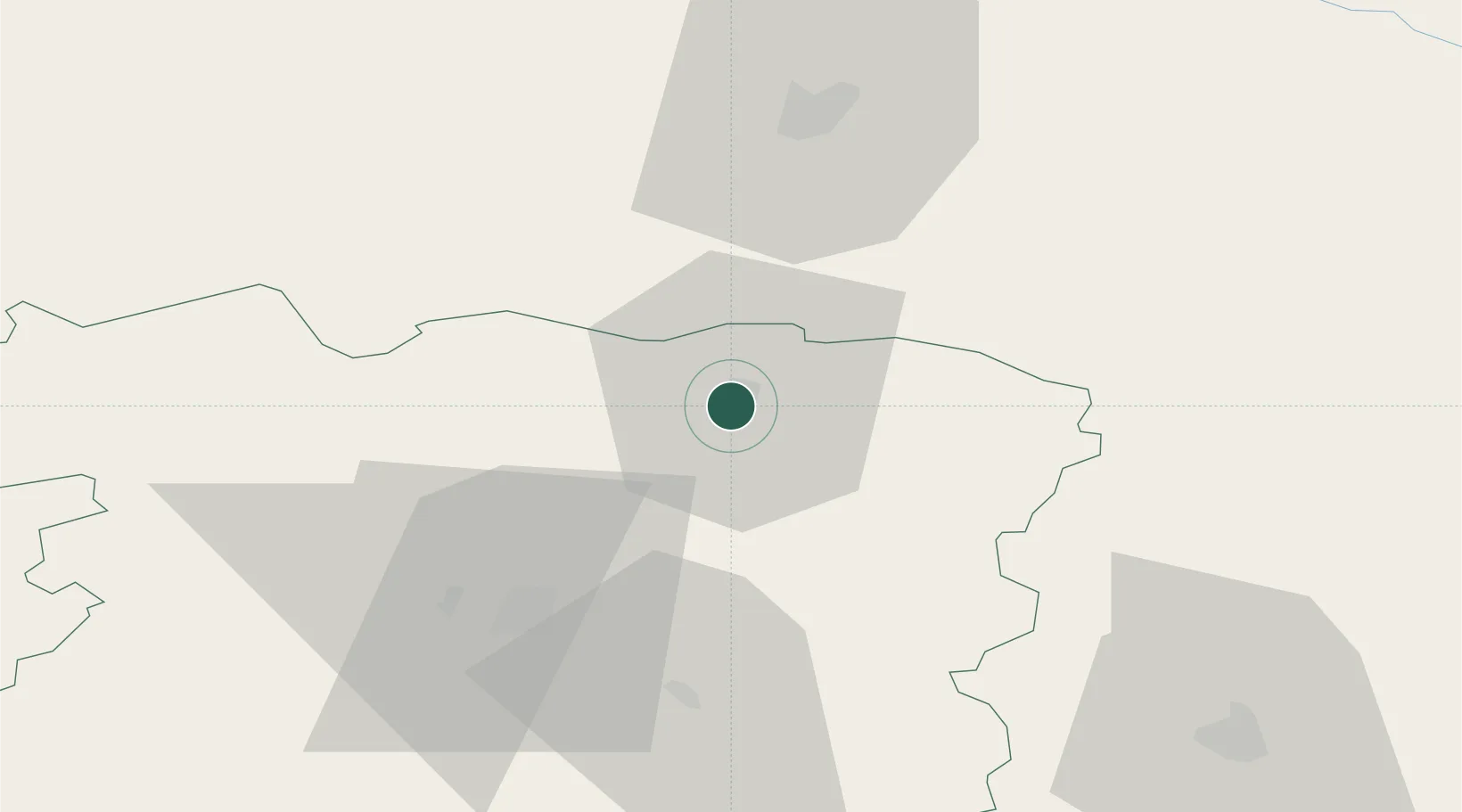
Hub Profile
Place type
Provincial seat
Region
Siauliai
Population
11,113
Time zone
Europe/Vilnius
Elevation
50 m
Location
Nearby Logistics Neighbours
Cities
- 1Pakruojis34 km
- 2Bauska40 km
- 3Naujoji Akmene46 km
- 4Jelgava47 km
- 5Radviliskis47 km
Ports
- 1Riga85 km
- 2Liepaja163 km
- 3Klaipeda166 km
- 4Butinge Oil Terminal167 km
- 5Salacgriva169 km
Airports
- 1Barysiai Airfield19 km
- 2Šiauliai International Airport40 km
- 3Panevėžys Air Base77 km
- 4Riga International Airport80 km
- 5Jūrmala Airport82 km
Trade Zones
DatabookThe Record of Consolidated Knowledge
Lithuania beyond logistics?