Medium airport · Russia

Chernyakhovsk Naval Air BaseRU-0060
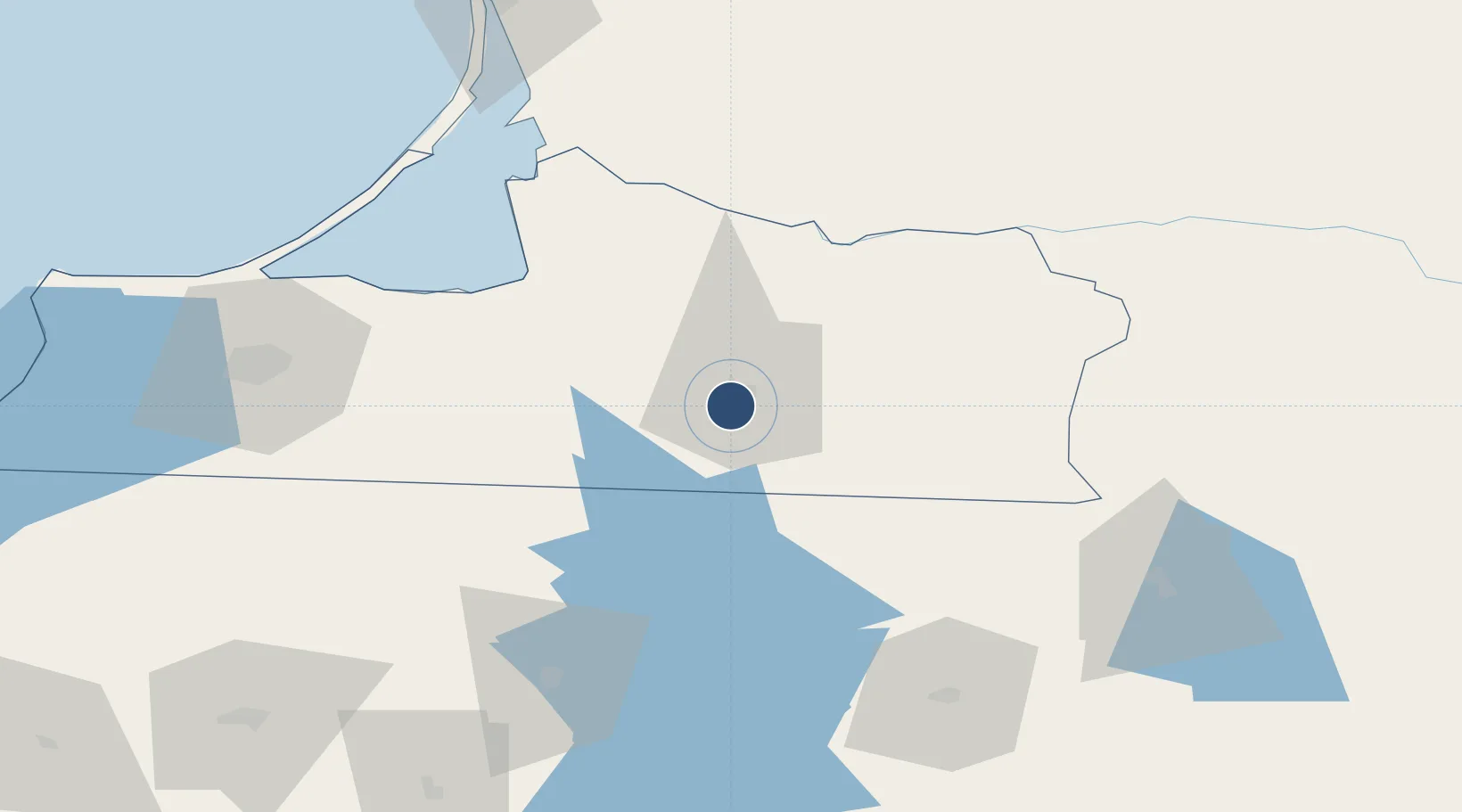
54.6017°, 21.7824°
8,203 ft
Longest runway
1
Runways
131 ft
Elevation

Runway & Layout

Chernyakhovsk Naval Air Base runway & taxiway layout
Runway & taxiway layout — OpenStreetMap (ODbL) / OurAirports

Runways · 1

RunwayDimensions SurfaceTrue headingLit
06/24 8,203 × 197ft Concrete
OurAirports

Airport Specifications

Airport class
Medium airport
OurAirports
Scheduled service
No
OurAirports
Runway surface
Concrete
OurAirports
Served city
Chernyakhovsk
OurAirports

Location

Location of RU-0060
Natural Earth 10m (public domain) · Kaliningrad · RU-0060 · 54.60, 21.78GoogleOSMYandex

Nearby Logistics Neighbours

Airports
  1. 1Khrabrovo Airport83 km
  2. 2Kaliningrad Chkalovsk Naval Air Base91 km
  3. 3Olsztyn-Mazury Airport136 km
  4. 4Palanga International Airport159 km
  5. 5Kėdainiai Air Base160 km
Nearest neighbours — logibook spatial index (haversine) over the source coordinates
Cities
  1. 1Chernyakhovsk4 km
  2. 2Neman50 km
  3. 3Sovetsk52 km
  4. 4Pagegiai60 km
  5. 5Kybartai61 km
Nearest neighbours — logibook spatial index (haversine) over the source coordinates
Ports
  1. 1Kaliningrad84 km
  2. 2Baltiysk121 km
  3. 3Klaipeda131 km
  4. 4Butinge Oil Terminal168 km
  5. 5Nowy Port202 km
Nearest neighbours — logibook spatial index (haversine) over the source coordinates
Trade Zones
  1. 1Suwałki SEZ (Suwalska SSE)92 km
  2. 2Marijampolė Free Economic Zone96 km
  3. 3Klaipėda Free Economic Zone100 km
  4. 4Warmian-Masurian SEZ (Warmińsko-Mazurska SSE)126 km
  5. 5Kėdainiai Free Economic Zone159 km
Nearest neighbours — logibook spatial index (haversine) over the source coordinates
DatabookThe Record of Consolidated Knowledge
Russia beyond logistics?
Browse databook

All Sources

AirportsOurAirports
Public domain
Portsthe NGA World Port Index
Public domain (US gov)
LocationsUN/LOCODE
UN/LOCODE — free
Trade Zonesthe World Bank SEZ database
CC BY 4.0
Trade ZonesOpen Zone Map
CC BY
InfrastructureOpenStreetMap
ODbL 1.0
← Russia airports