Transport Functions
Rail
Road
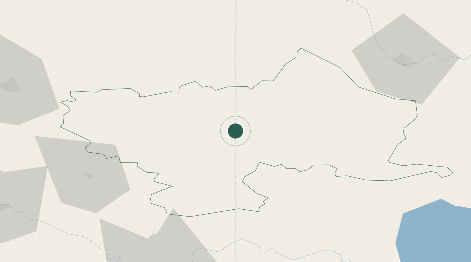
Hub Profile
Place type
Regional capital
Region
Utena
Population
25,397
Time zone
Europe/Vilnius
Elevation
113 m
Location
Nearby Logistics Neighbours
Ports
- 1Riga186 km
- 2Salacgriva256 km
- 3Klaipeda283 km
- 4Butinge Oil Terminal297 km
- 5Liepaja307 km
Airports
- 1Panevėžys Air Base76 km
- 2Daugavpils International Airport83 km
- 3Jonava Air Base95 km
- 4Vilnius International Airport98 km
- 5Kėdainiai Air Base106 km
Trade Zones
- 1Panevėžys Free Economic Zone90 km
- 2Kėdainiai Free Economic Zone105 km
- 3Kaunas Free Economic Zone119 km
- 4Rēzekne SEZ134 km
- 5Latgale SEZ134 km
DatabookThe Record of Consolidated Knowledge
Lithuania beyond logistics?