Transport Functions
Rail
Road
Hub Profile
Place type
Provincial seat
Region
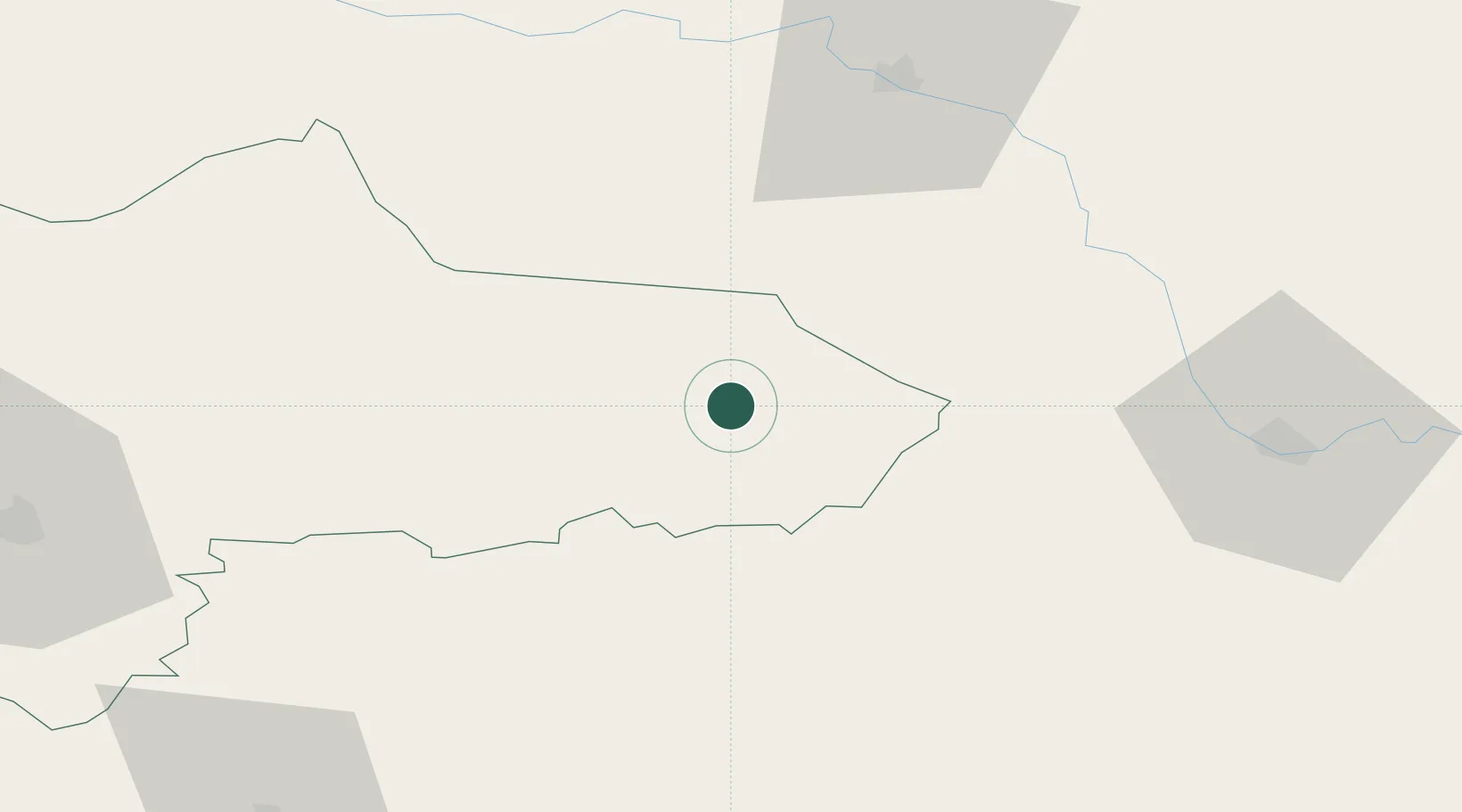
Panevėžys
Population
11,765
Time zone
Europe/Vilnius
Elevation
137 m
Location
Nearby Logistics Neighbours
Ports
- 1Riga144 km
- 2Salacgriva208 km
- 3Parnu279 km
- 4Klaipeda280 km
- 5Butinge Oil Terminal288 km
Airports
- 1Daugavpils International Airport67 km
- 2Jēkabpils Air Base68 km
- 3Panevėžys Air Base74 km
- 4Kėdainiai Air Base124 km
- 5Barysiai Airfield127 km
Trade Zones
- 1Panevėžys Free Economic Zone105 km
- 2Rēzekne SEZ107 km
- 3Latgale SEZ107 km
- 4Kėdainiai Free Economic Zone126 km
- 5ō iauliai Free Economic Zone138 km
DatabookThe Record of Consolidated Knowledge
Lithuania beyond logistics?