Transport Functions
Road
Multimodal
Hub Profile
Place type
Provincial seat
Region
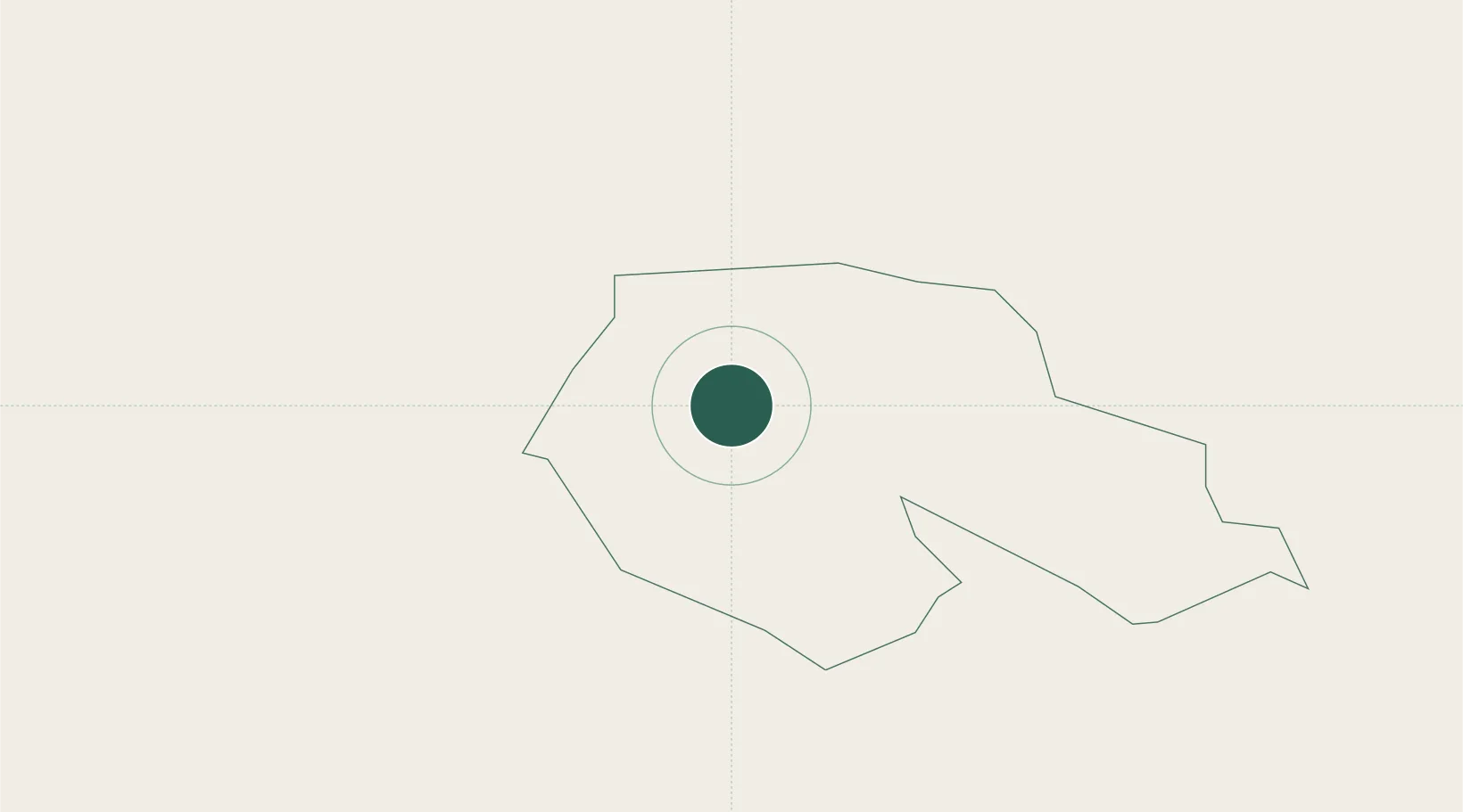
Jēkabpils Municipality
Population
2,546
Time zone
Europe/Riga
Elevation
91 m
Location
Nearby Logistics Neighbours
Cities
- 1Rokiskis26 km
- 2Livani35 km
- 3Jekabpils36 km
- 4Koknese57 km
- 5Daugavpils58 km
Ports
- 1Riga133 km
- 2Salacgriva190 km
- 3Parnu258 km
- 4Virtsu300 km
- 5Roomassaare300 km
Airports
- 1Jēkabpils Air Base42 km
- 2Daugavpils International Airport62 km
- 3Panevėžys Air Base94 km
- 4Barysiai Airfield136 km
- 5Riga International Airport138 km
Trade Zones
- 1Rēzekne SEZ91 km
- 2Latgale SEZ91 km
- 3Panevėžys Free Economic Zone127 km
- 4Free Port of Riga134 km
- 5Kėdainiai Free Economic Zone149 km
DatabookThe Record of Consolidated Knowledge
Latvia beyond logistics?