Transport Functions
Rail
Road
Hub Profile
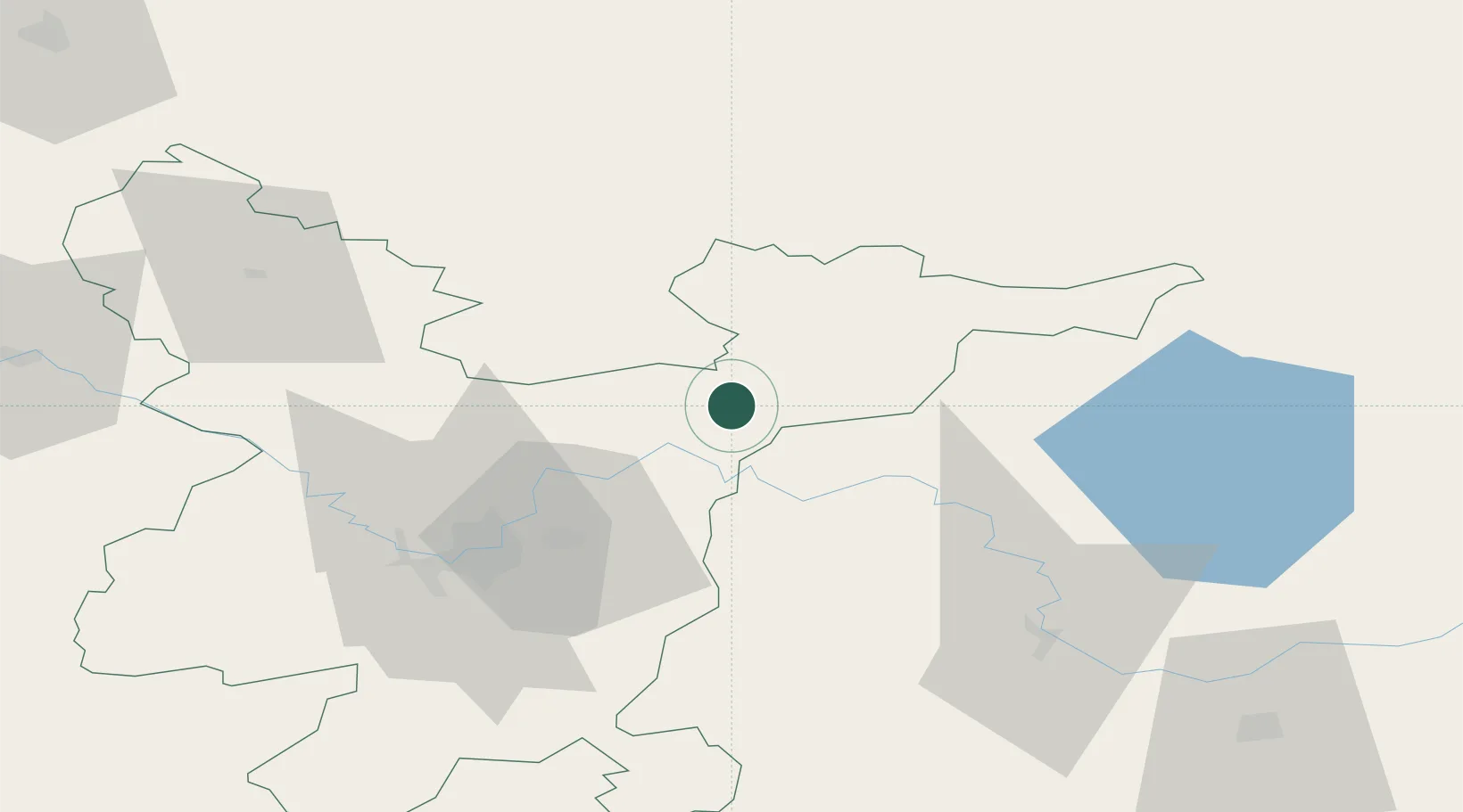
Place type
Populated place
Region
Vilnius
Population
6,375
Time zone
Europe/Vilnius
Elevation
128 m
Location
Nearby Logistics Neighbours
Ports
- 1Riga242 km
- 2Klaipeda305 km
- 3Salacgriva314 km
- 4Butinge Oil Terminal325 km
- 5Kaliningrad340 km
Airports
- 1Vilnius International Airport50 km
- 2Jonava Air Base90 km
- 3Kaunas International Airport107 km
- 4Panevėžys Air Base117 km
- 5Kėdainiai Air Base121 km
Trade Zones
- 1Kaunas Free Economic Zone113 km
- 2Panevėžys Free Economic Zone113 km
- 3Kėdainiai Free Economic Zone117 km
- 4Marijampolė Free Economic Zone167 km
- 5Rēzekne SEZ172 km
DatabookThe Record of Consolidated Knowledge
Lithuania beyond logistics?