Transport Functions
Port
Hub Profile
Place type
Populated place
Region
Bas-Sassandra District
Population
17,699
Time zone
Africa/Abidjan
Elevation
141 m
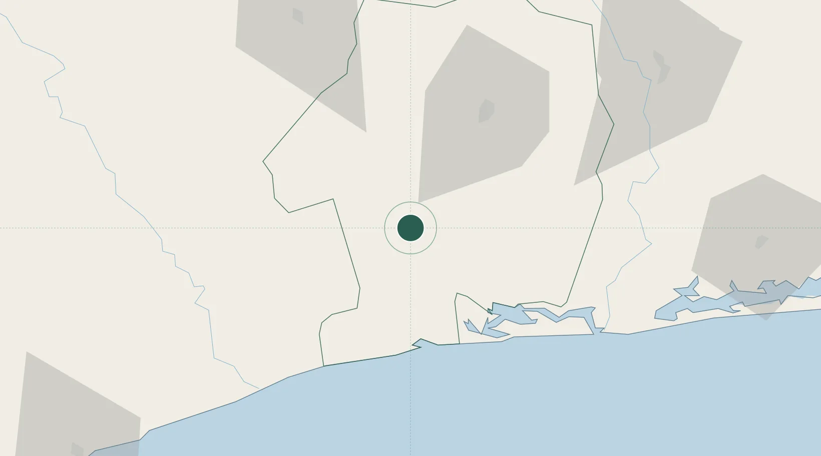
Location
Nearby Logistics Neighbours
Cities
- 1Fresco43 km
- 2Grand Lahou73 km
- 3Baobab Terminal128 km
- 4Jacqueville133 km
- 5Dabou136 km
Ports
- 1Baobab Marine Terminal127 km
- 2Espoir Marine Terminal134 km
- 3San Pedro140 km
- 4Abidjan175 km
- 5Port Bouet181 km
Airports
- 1San Pedro Airport144 km
- 2Yamoussoukro International Airport162 km
- 3Daloa Airport177 km
- 4Félix-Houphouët-Boigny International Airport185 km
- 5Bouaké Airport259 km
Trade Zones
- 1San Pedro Economic Zone140 km
- 2Yamoussoukro Industrial Park147 km
- 3PK 24 Industrial Park158 km
- 4Vridi Industrial Park177 km
- 5Koumassi Industrial Park182 km
DatabookThe Record of Consolidated Knowledge
Côte d’Ivoire beyond logistics?