Transport Functions
Rail
Road
Airport
Hub Profile
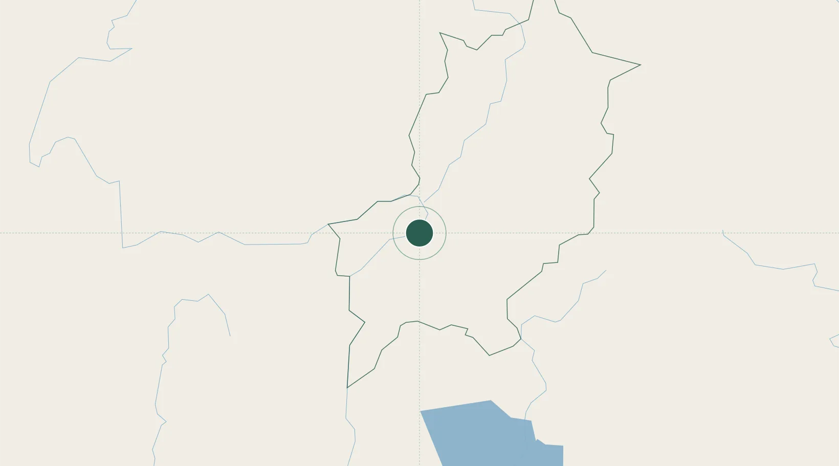
Place type
Regional capital
Region
Luang Prabang Province
Population
47,378
Time zone
Asia/Vientiane
Elevation
296 m
Location
Nearby Logistics Neighbours
Cities
- 1Oudomxay90 km
- 2Vangrieng110 km
- 3Nateuy143 km
- 4B12 Oil Terminal148 km
- 5Boten153 km
Ports
- 1Nghe Tinh394 km
- 2Hai Phong481 km
- 3Hon Gai521 km
- 4Cam Pha553 km
- 5Fang-Cheng672 km
Airports
- 1Luang Phabang International Airport4 km
- 2Oudomsay Airport91 km
- 3Xieng Khouang Airport111 km
- 4Luang Namtha Airport147 km
- 5Dien Bien Phu Airport188 km
Trade Zones
DatabookThe Record of Consolidated Knowledge
Laos beyond logistics?