Transport Functions
Multimodal
Hub Profile
Place type
District seat
Region
Gyeongsangbuk-do
Population
29,691
Time zone
Asia/Seoul
Elevation
33 m
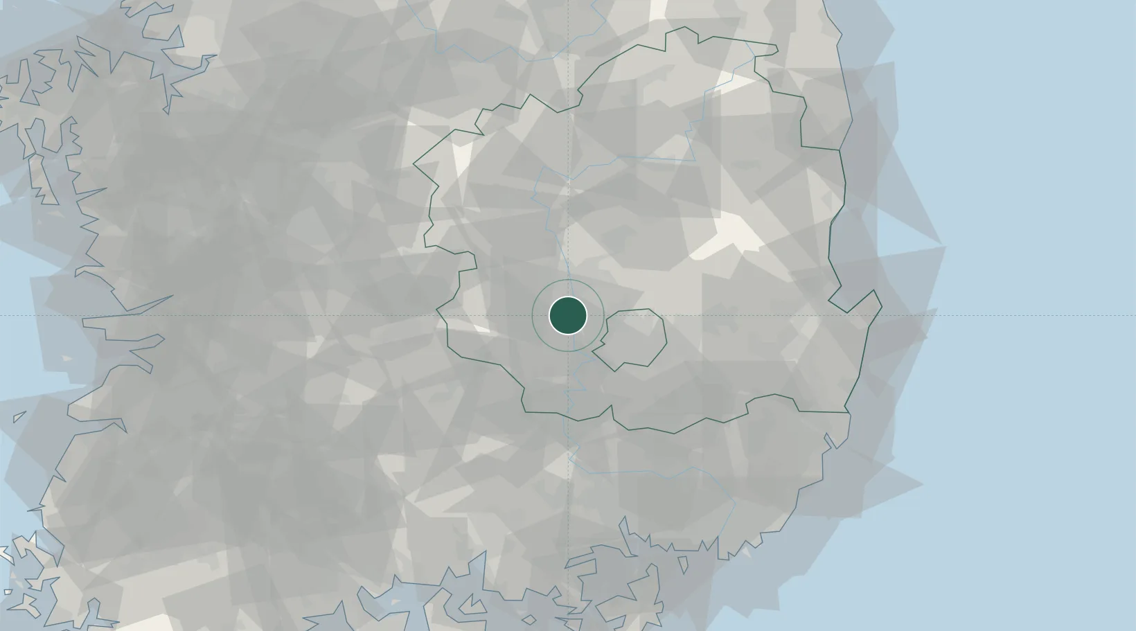
Location
Nearby Logistics Neighbours
Cities
- 1Chilgok-gun2 km
- 2Gumi12 km
- 3Goryeong-gun12 km
- 4Seongju-gun14 km
- 5Daegu22 km
Airports
- 1Daegu International Airport27 km
- 2Yecheon Airbase72 km
- 3Pohang Airport (G-815/K-3)93 km
- 4Ulsan Airport98 km
- 5Gimhae International Airport103 km
DatabookThe Record of Consolidated Knowledge
South Korea beyond logistics?