Transport Functions
Rail
Road
Hub Profile
Region
47
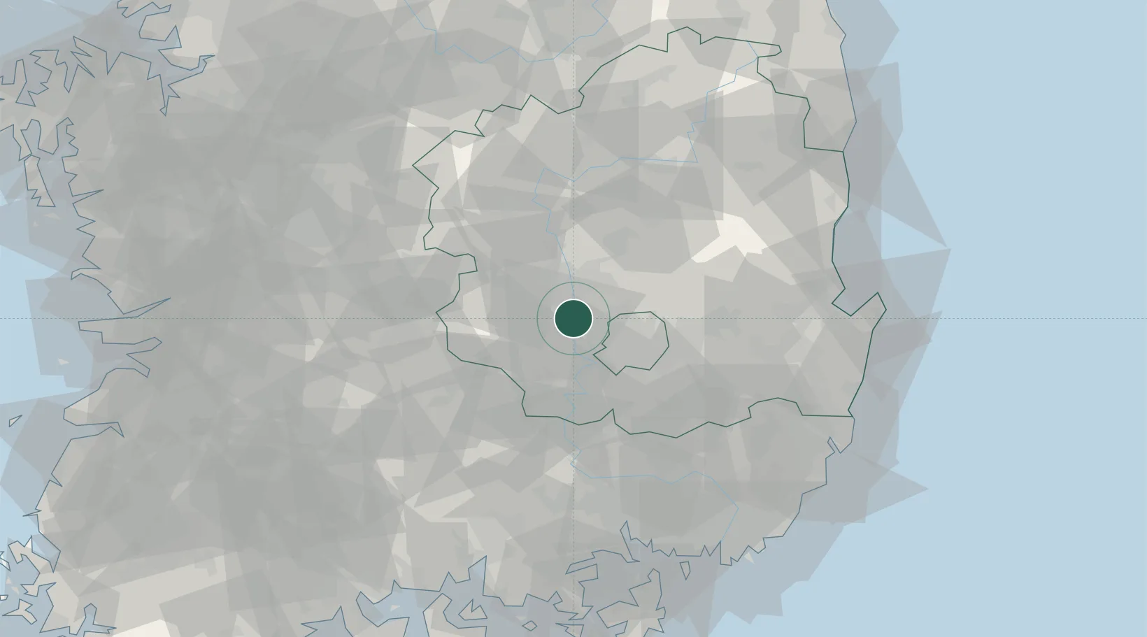
Location
Nearby Logistics Neighbours
Cities
- 1Waegwan2 km
- 2Gumi12 km
- 3Goryeong-gun14 km
- 4Seongju-gun15 km
- 5Daegu21 km
Airports
- 1Daegu International Airport25 km
- 2Yecheon Airbase72 km
- 3Pohang Airport (G-815/K-3)92 km
- 4Ulsan Airport96 km
- 5Gimhae International Airport102 km
DatabookThe Record of Consolidated Knowledge
South Korea beyond logistics?