Transport Functions
Rail
Road
Airport
Hub Profile
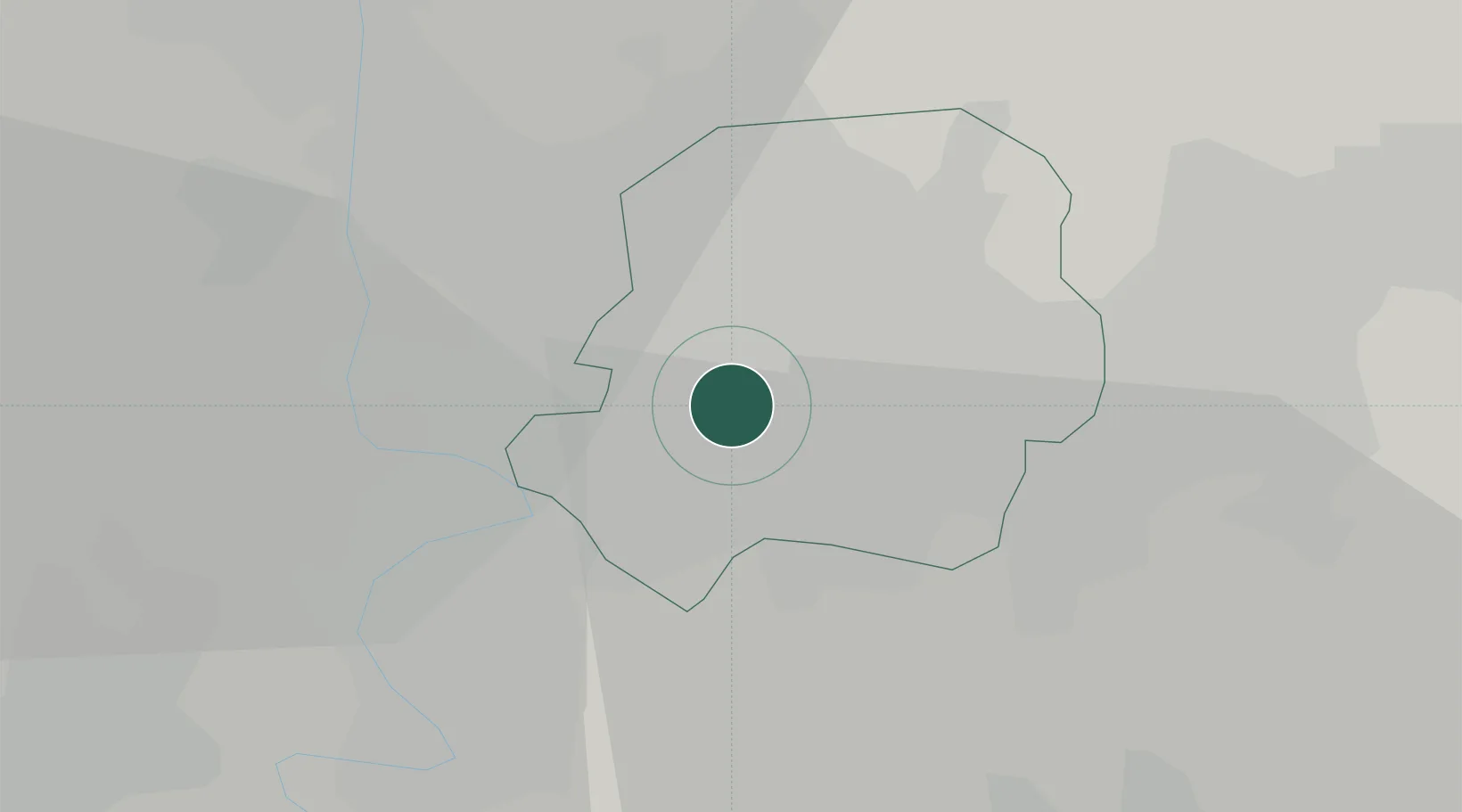
Place type
Regional capital
Region
Daegu
Population
2,365,523
Time zone
Asia/Seoul
Elevation
45 m
Location
Nearby Logistics Neighbours
Cities
- 1Dalseong-gun/Daegu6 km
- 2Gyeongsan15 km
- 3Chilgok-gun21 km
- 4Waegwan22 km
- 5Yongsan28 km
Airports
- 1Daegu International Airport7 km
- 2Ulsan Airport76 km
- 3Pohang Airport (G-815/K-3)77 km
- 4Gimhae International Airport83 km
- 5Yecheon Airbase88 km
DatabookThe Record of Consolidated Knowledge
South Korea beyond logistics?