UN/LOCODE hub · South Korea
KRCSG
Cheongsong-gun
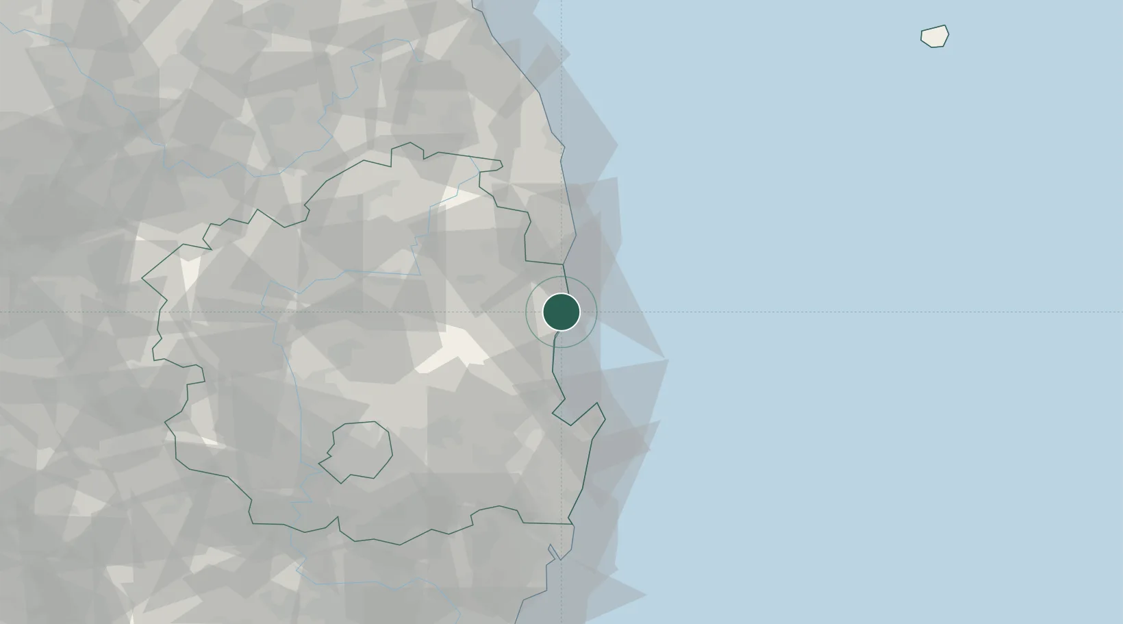
36.4333°, 129.4167°
31,313
Population
2
Transport functions
Transport Functions
Rail
Road
Hub Profile
Place type
Populated place
Region
Gyeongsangbuk-do
Population
31,313
Time zone
Asia/Seoul
Elevation
197 m
Location
Nearby Logistics Neighbours
Cities
- 1Yeongdeok-gun7 km
- 2Ganggu10 km
- 3Hupo26 km
- 4Pohang37 km
- 5Yeongyang-gun38 km
Airports
- 1Pohang Airport (G-815/K-3)50 km
- 2Daegu International Airport91 km
- 3Ulsan Airport94 km
- 4Yecheon Airbase98 km
- 5Gimhae International Airport146 km
Trade Zones
DatabookThe Record of Consolidated Knowledge
South Korea beyond logistics?