Transport Functions
Port
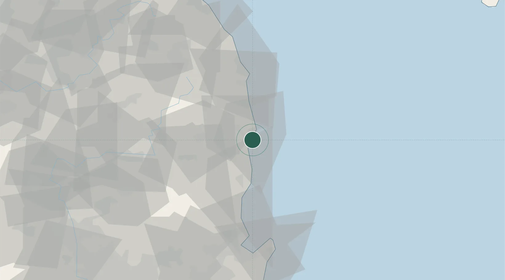
Hub Profile
Place type
Populated place
Region
Gyeongsangbuk-do
Time zone
Asia/Seoul
Elevation
12 m
Location
Nearby Logistics Neighbours
Cities
- 1Cheongsong-gun26 km
- 2Yeongyang-gun27 km
- 3Yeongdeok-gun31 km
- 4Uiseong-gun32 km
- 5Ganggu36 km
Airports
- 1Pohang Airport (G-815/K-3)76 km
- 2Yecheon Airbase98 km
- 3Daegu International Airport112 km
- 4Ulsan Airport120 km
- 5Gangneung Airport (K-18)129 km
Trade Zones
DatabookThe Record of Consolidated Knowledge
South Korea beyond logistics?