Transport Functions
Rail
Road
Hub Profile
Place type
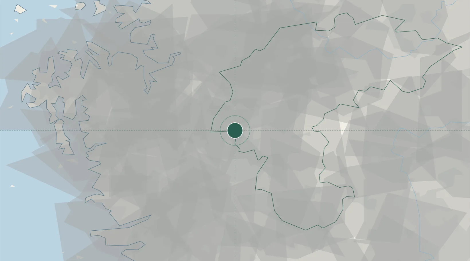
Populated place
Region
North Chungcheong
Population
209,483
Time zone
Asia/Seoul
Elevation
85 m
Logistics facilities
1
Location
Nearby Logistics Neighbours
Cities
- 1Yeongi-gun1 km
- 2Cheongwon-gun2 km
- 3Osong7 km
- 4Hyeondo-myeon/Cheongwon-gun9 km
- 5Sint'anjin12 km
Ports
- 1Pyeongtaek Hang71 km
- 2Kunsan91 km
- 3Daesan Hang100 km
- 4Inchon121 km
- 5Gwangyang Hang186 km
Airports
DatabookThe Record of Consolidated Knowledge
South Korea beyond logistics?